Alpine Passes Trek: Hut-to-Hut Hiking in Valais
Last year, we planned to do this exact hike with a group of friends visiting from the U.S. Our plans were foiled, however, when a late summer snowstorm rendered most of the mountain passes unsafe and impassable. We ended up rebooking huts in Graubünden to do the Kesch Trek, and had an incredible time - but Raunaq and I were set on trying again next year.
So this summer, we planned it all again. And again, a September snowstorm hit days before our departure date and threatened to our plans. After checking with the huts and assessing the conditions, we decided to go for it anyway, with the intention of taking it day-by-day and skipping dangerous stages if necessary. Luckily, the weather stabilized, and we got nearly perfect conditions. The universe was on our side this time around!
Our itinerary was inspired by a few stages of the Alpine Passes long-distance trail (Stages 21-24). The entirety of this hike is within the Valais Alps, in the French-speaking region of Switzerland. It is five days of high-alpine hiking, with four nights in remote mountain huts, and some of the most beautiful scenery I’ve ever seen. Every day was somehow more impressive than the last. I don’t say this lightly, but: this might be one of the best multi-day hikes in Switzerland.
Day 1: Arolla - Cabane des Dix
Getting to Arolla is a trek in itself. From Zurich, it takes four trains, two buses, and nearly five hours of travel time to reach this small village at the end of the Val d'Hérens. We took the earliest connections possible, and arrived in Arolla just after 10am. A quick coffee at one of the few hotel-cafes in the village center, and we were off!
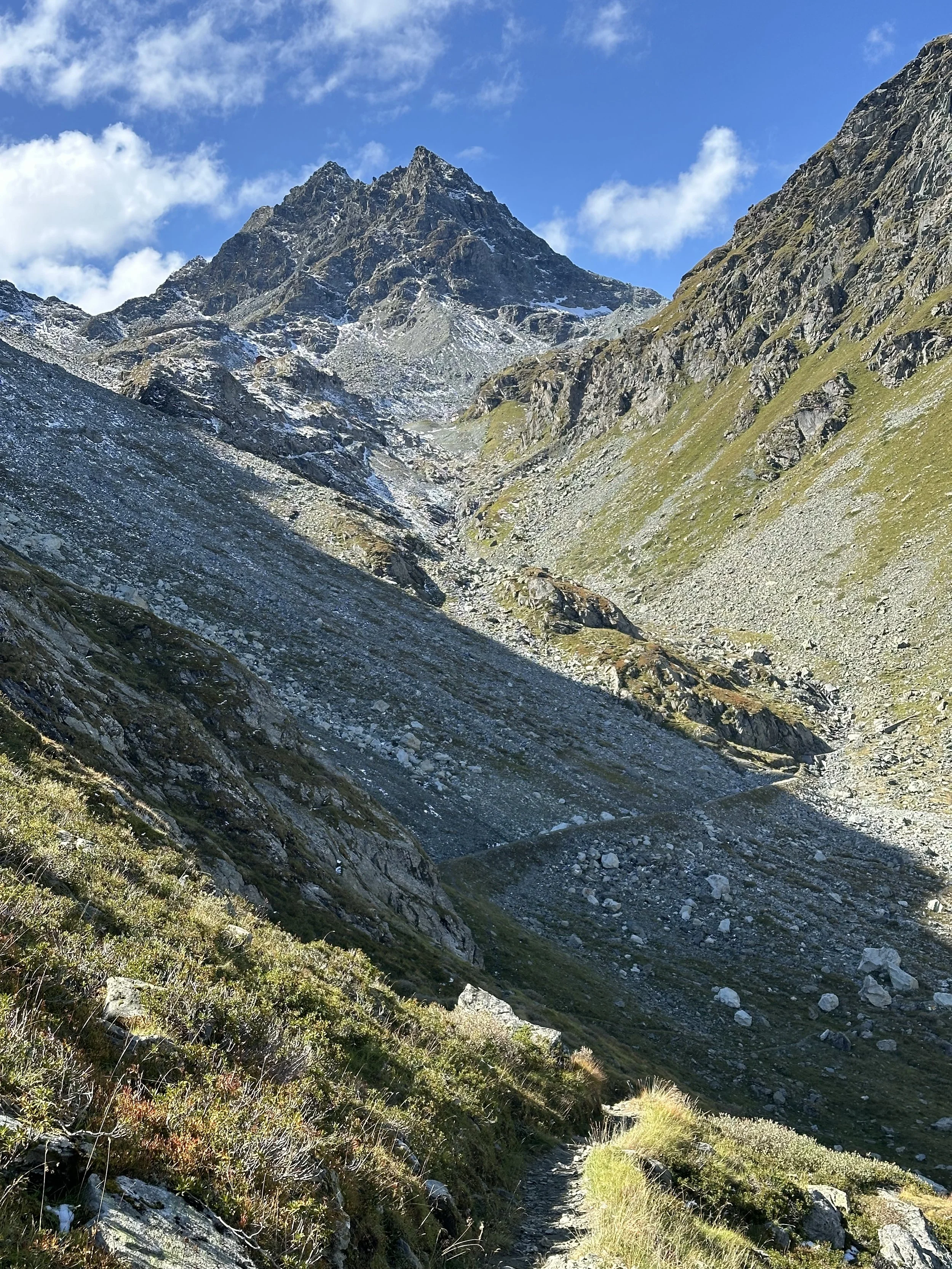
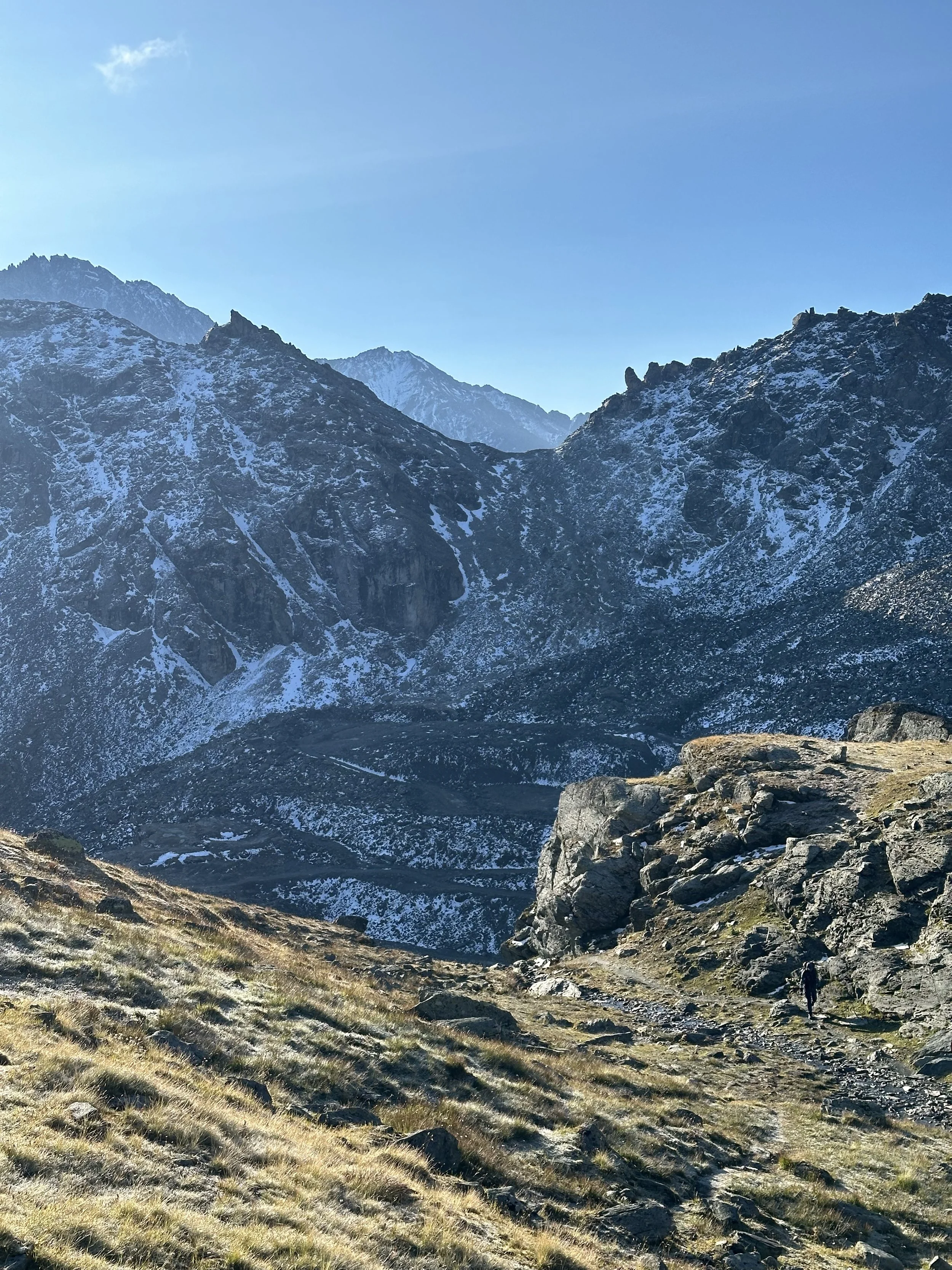
This day’s trail started off in the pine and larch forest, but only briefly, and we soon passed the treeline (and wouldn’t return to it until day 4!). The path wound uphill, and a magnificent mountain and glacier panorama opened up. I knew that the fresh snow would potentially causes us problems in the next few days, but it really did make the mountains look extra beautiful, and brought the glaciers into sharp, detailed focus. The first half of the path was relatively gradual, just until the last climb up to the Col de Riedmatten at above 2900m.
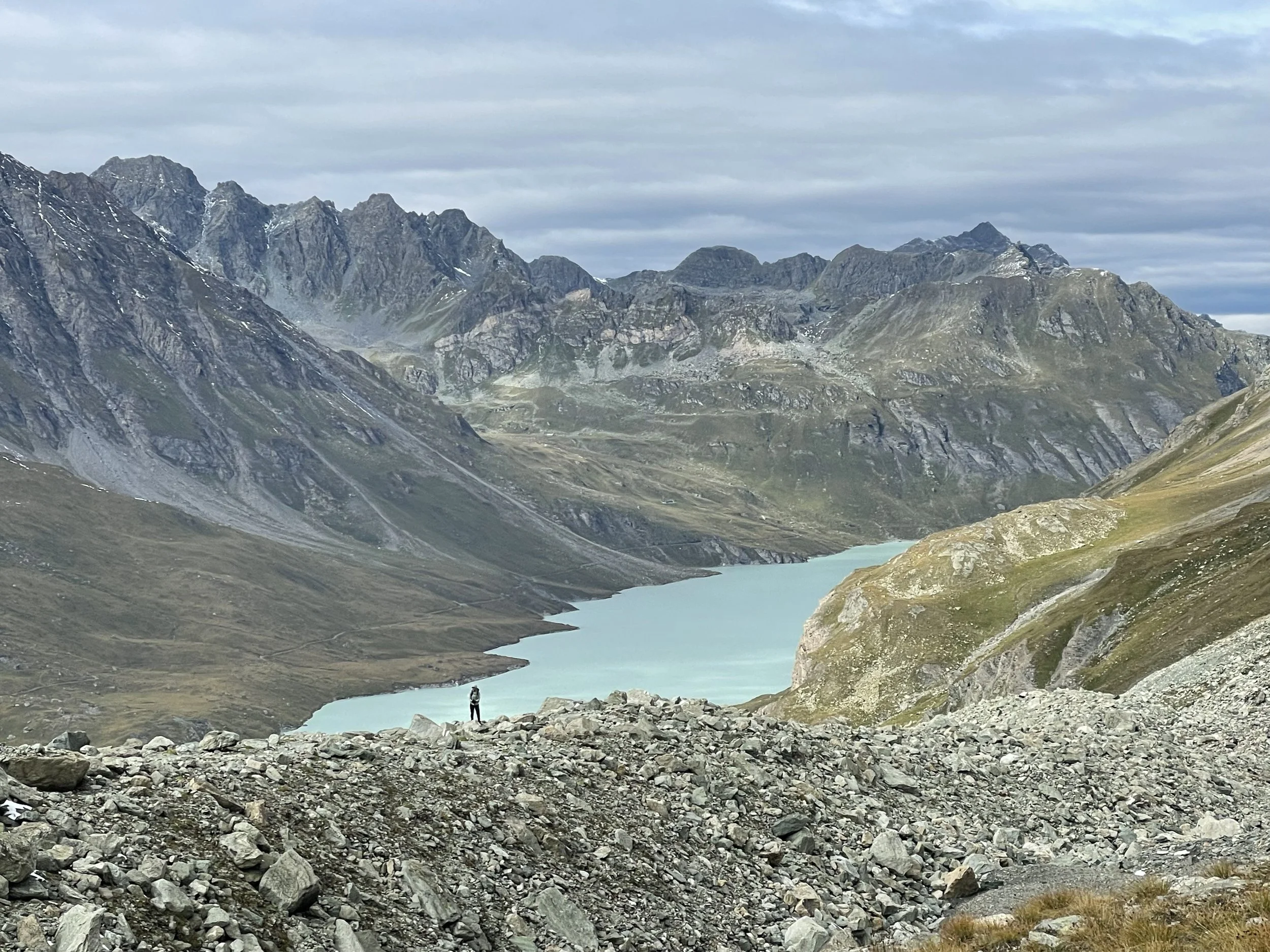
Then came the steep descent, the first 30 meters so steep they are secured with chains. Past Alex might have found this exposed or scary (and thus those with fears of heights should take note), but new and improved Alex was just fine, even if some snow and ice on the trail. This other side of the pass was gorgeous: barren, wild, with a completely different feel from the Arolla side. We got a sneak preview of Lac des Dix, a lake we would pass tomorrow, but mainly we made our way across scree and boulders up to the Cabane des Dix. The last hour or so was tough, moreso than I expected it to be. We had to climb back up to nearly 3,000 meters, and both Raunaq and I were feeling deliriously exhausted by the time we finally made it to the hut.
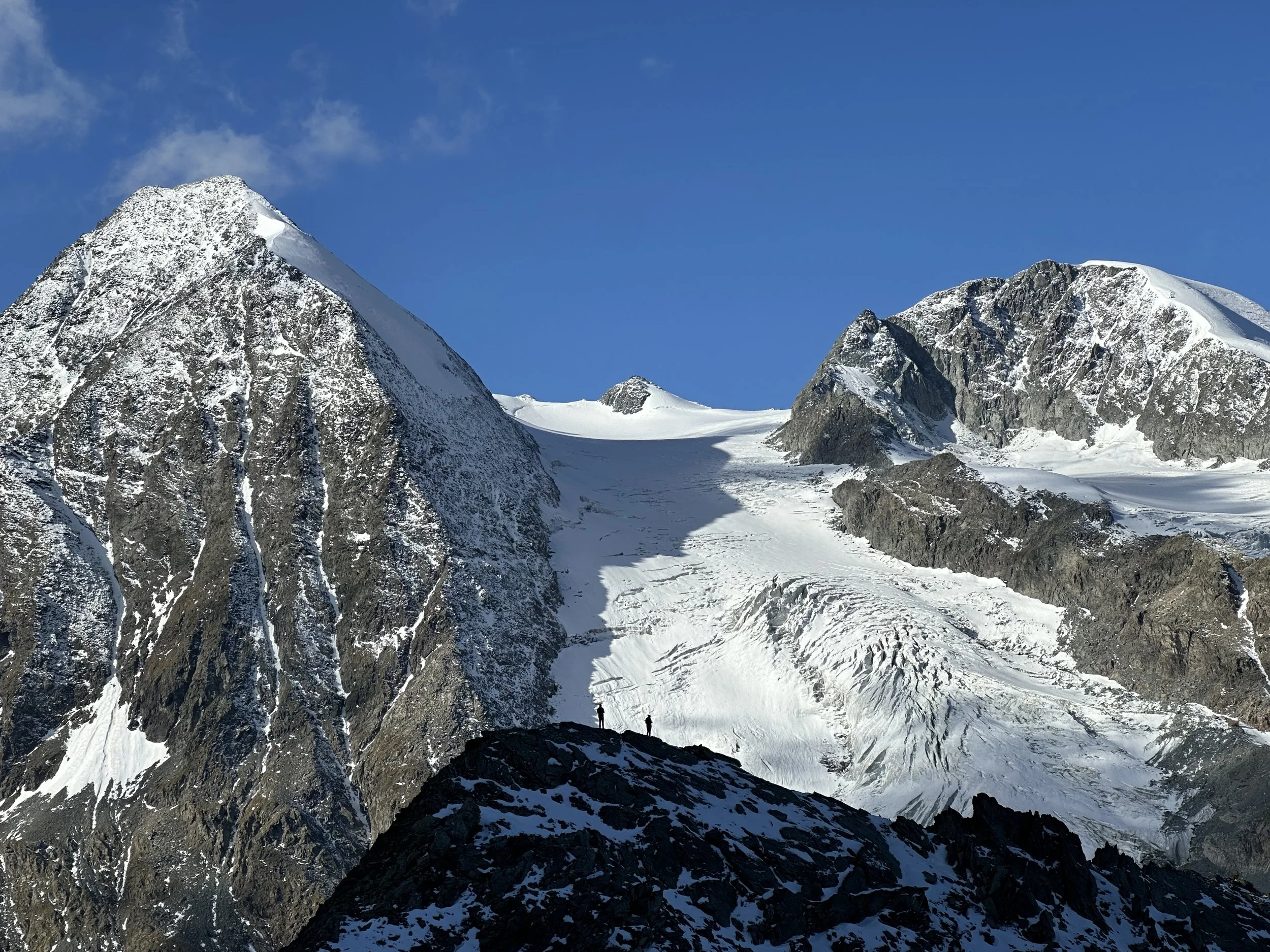
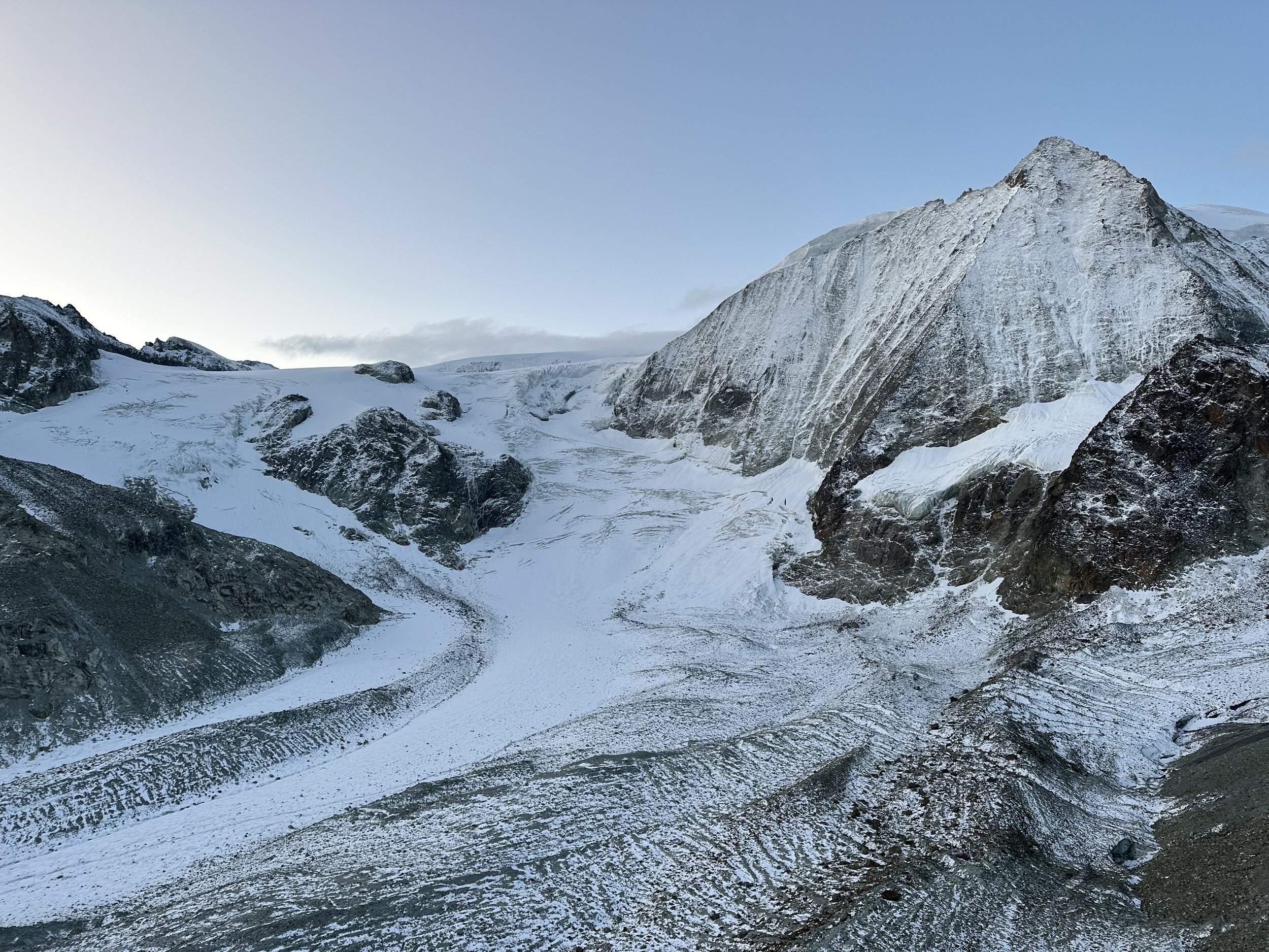
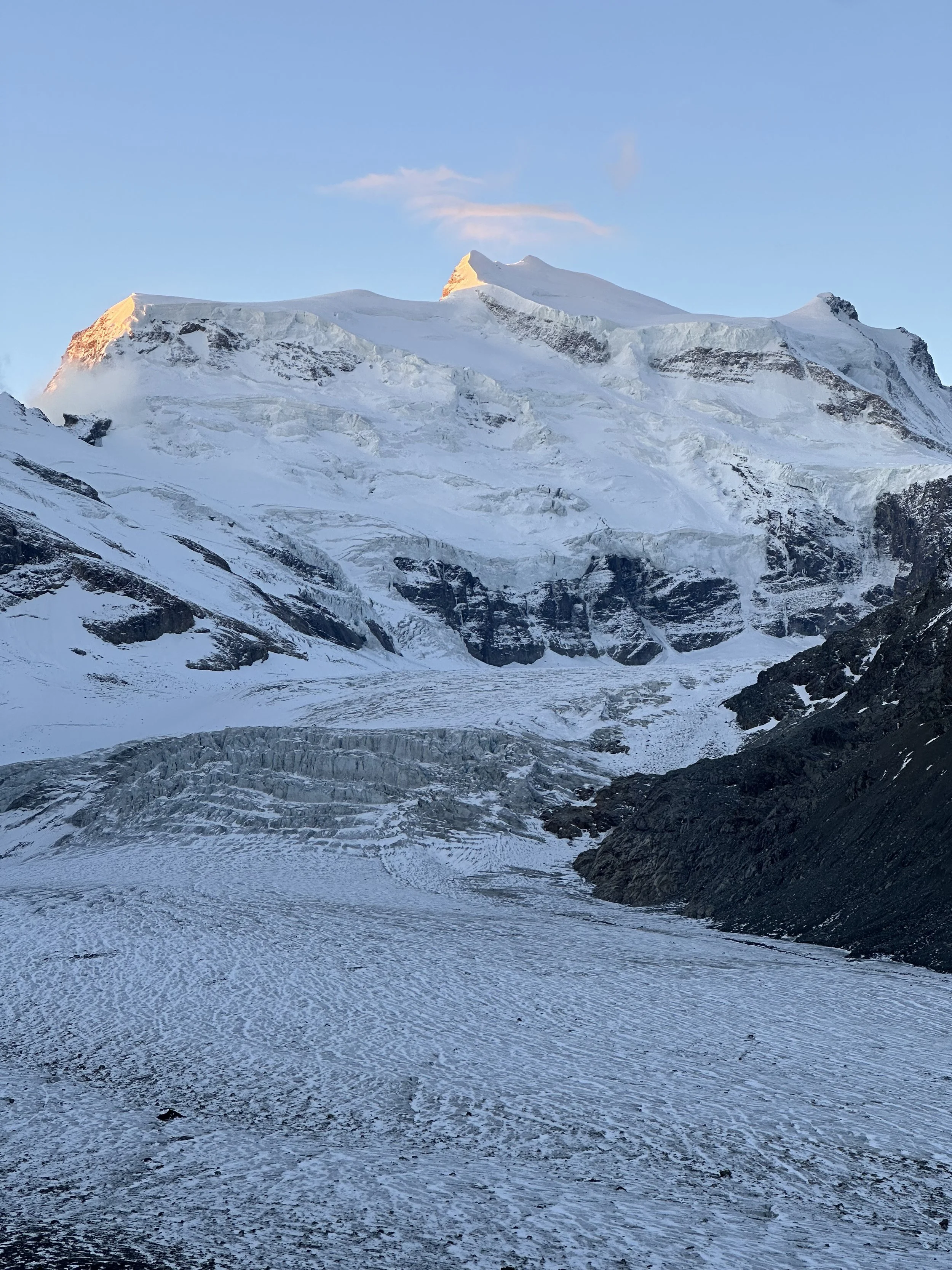
Cabane des Dix felt like a true mountaineer’s hut. It’s location is absolutely incredible, standing exposed on a small hill, surrounded by mountains but most prominently Mont Blanc de Cheilon and Cheilon glacier. It’s hard to not be inspired to start climbing and mountaineering when you stay here.
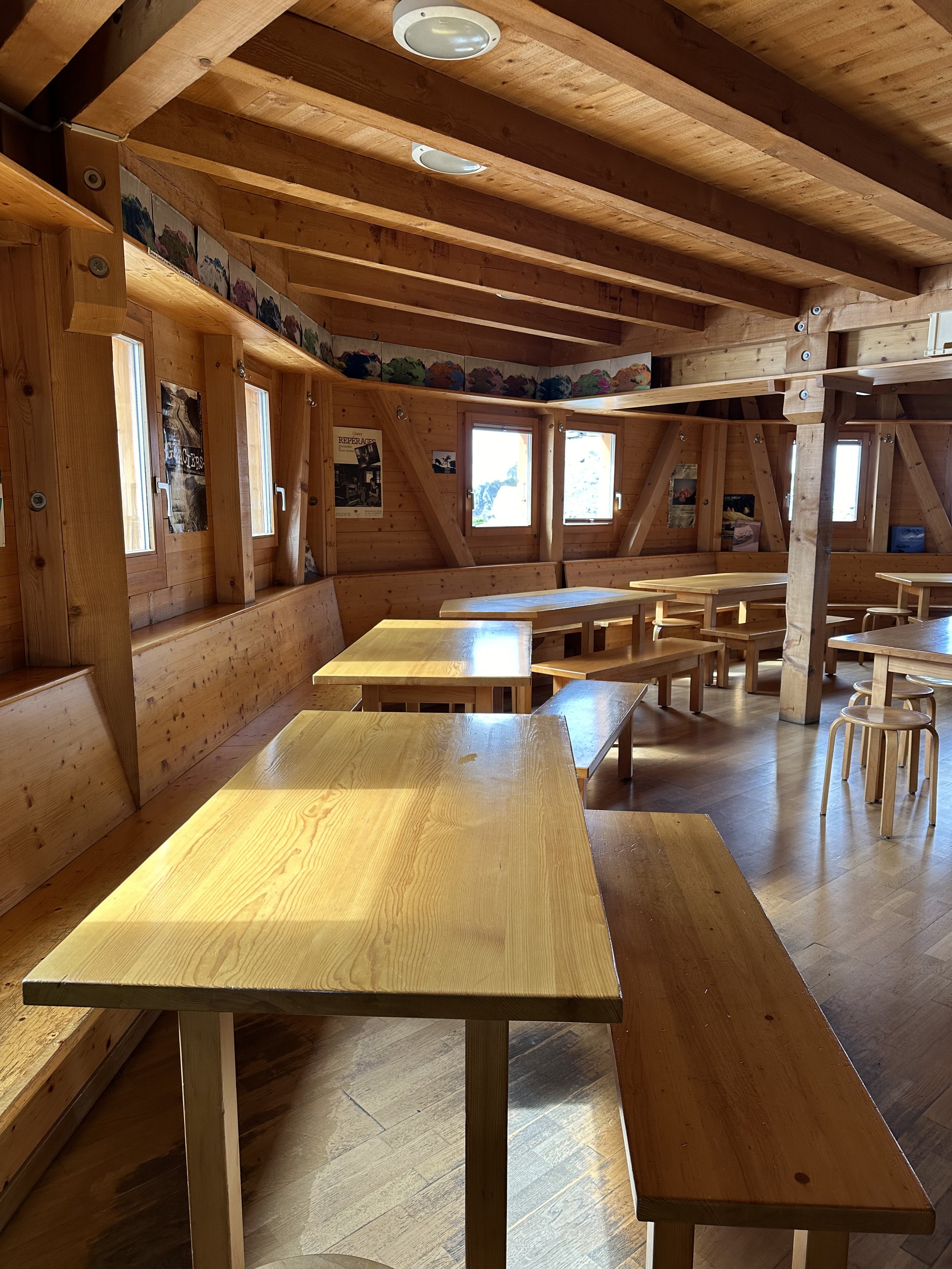
Because it was a weekday and the end of the summer season, there were only six of us staying that night (at a hut that can normally sleep 90). Since I have only stayed at huts during busy summer Saturday nights, this was a totally different experience - very cozy and intimate. We had dinner with three Dutch climbers and one Swiss-French hiker, and then was in bed by 9pm.
11km, 1350m ascent/460m descent, ~5 hrs
Day 2: Cabane des Dix - Cabane Prafleuri
We woke up to frozen water pipes (brr!) and a tiny dusting of snow. After breakfast (which included hard-boiled eggs, a luxury!), we packed up and headed out for day two. Honestly, I thought today was going to be the most “boring” day of the trek. It had long stretches of easy walking, with the least amount of elevation gain. I originally wanted to combine days two and three, but luckily Raunaq talked me out of it, because: 1.) Today was NOT boring in the least, and 2.) Day three was tough! Neither day would have been nearly as enjoyable if we tried to squeeze two in one.
The morning started with an icy descent down from the hut, and then a steeper descent down to the Lac des Dix reservoir. Our views from the previous day didn’t really capture it’s immensity. It’s not that wide, but almost 6 kilometers long. This part of the trail followed the shore, and it was nice on the legs to have a section of flat, easy walking, where you could just enjoy the view.
There are two paths to Cabane Prafleuri, and we took the longer trail that continued until the end of the reservoir, and then turned up the Combe Prafleuri. A few more icy sections, and then we were at the hut in time for a late lunch. After eating, we decided to do the 20-minute climb up to the Col des Roux. The view from the top (pictured above) is breathtaking. This whole area just doesn’t feel real.
Prafleuri is a main stop on the internationally famous Haute Route, so I wasn’t all that surprised to see a group of Americans at our hut. In general, I find that it’s pretty rare to see international tourists at mountain huts (obviously, the big exception here are huts near hotspots like Grindelwald or Zermatt). I think maybe that’s why overall, Prafleuri was my least favorite hut of the trip (even if the food was the most delicious). It lacked a little bit of that homey, local vibe that I’ve grown to love at other Swiss huts.
15.5km, 700m ascent/1000m descent, ~5.5 hrs
Note: An alternative would be to stay at Cabane St. Laurent instead of Prafleuri.
Day 3: Cabane Prafleuri - Cabane Louvie
Today’s stage was the stage I had been most worried about having to skip. The entirety of the day’s trail is between 2200-2900 meters, and I knew that if there was significant lingering snow, the mountain pass would be too dangerous and we’d need to bus all the way around to the village of Fionnay. Fortunately, the 8 other hikers staying with us at the Prafleuri hut had just come from that area, and said that it was completely passable. We were elated!
In the morning, Raunaq and I got a surprise ibex appearance - two adults and one baby. We sat and watched them in the quiet, as the sun rose. Sunrise ibex encounters are definitely a good omen, as I think that today was probably the best day on the trail.
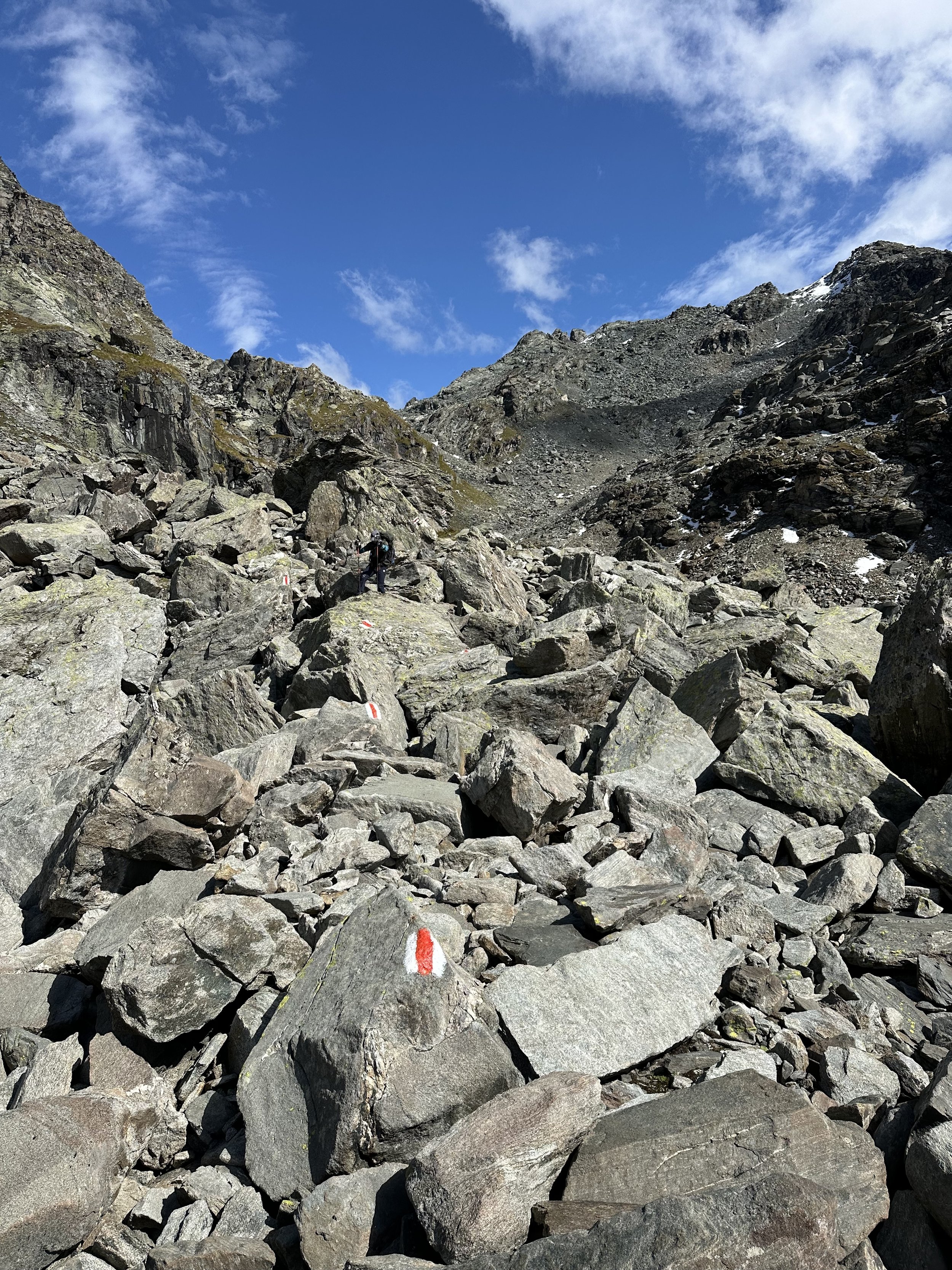
After breakfast (where hard-boiled eggs again made an appearance!), we packed up and set out. The first of two big climbs starts right away: the steep climb up to the Col Prafleuri, just 13 meters shy of 3000. This was followed by a big boulder field descent, that was even trickier than normal due to icy rocks. The landscape up here is remote and barren, dotted with small turquoise lakes and dark craggy mountains. Raunaq’s keen eyes spotted a patch of the rare edelweiss, the Swiss national flower. The whole area here is beautiful, but somewhat depressing, as we passed signage that indicated where the glaciers used to be in 1980 and in 2000. What was once the massive Grand Désert glacier is now partially a glacial graveyard.
The second big climb up to Col Louvie is tough, but the view at the top makes up for…well, everything. We caught our first glimpse of the Grand Combin, a massif with several 4,000-meter peaks, and the mountains we would hike into the next day. This area is know for both ibex and chamois herds, and we sat and had lunch with a small chamois herd lounging at the top of the Col. The rest of the hike alternates between traverse and descents, with many more boulder fields to overcome. Views just get better and better - I swear, it almost looks fake.
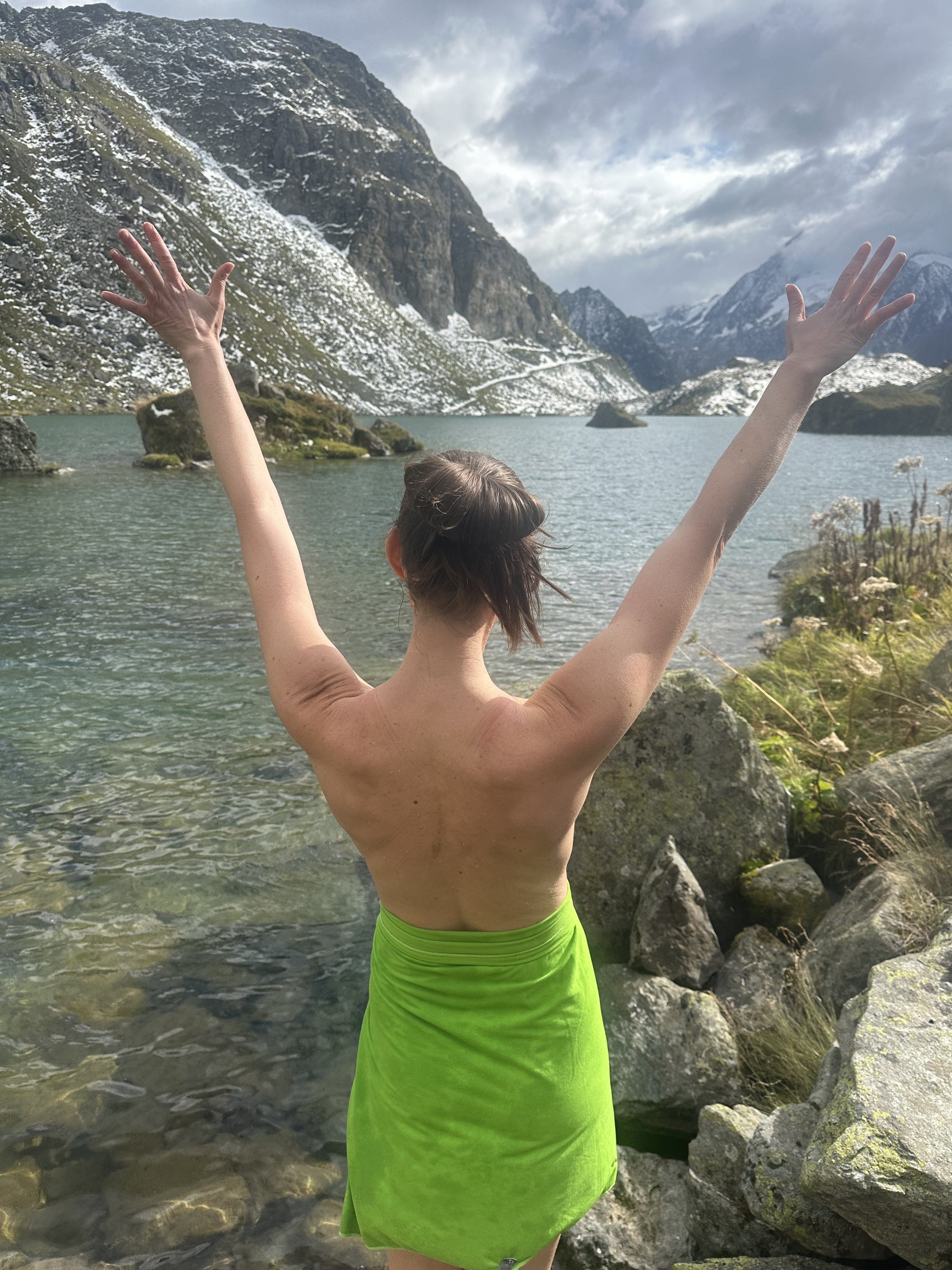
Finally, we reached the shores of Lac Louvie. The weather was cool and the water temperature was frigid, but I had been looking forward to a dip in the lake all day. We stripped off our clothes right there alongside the trail (we had been alone all day, so weren’t worried about other hikers running into us), and took an very icy bath. It was so cold that it burned, but the feeling of washing off three days of sweat and grime was unmatched.
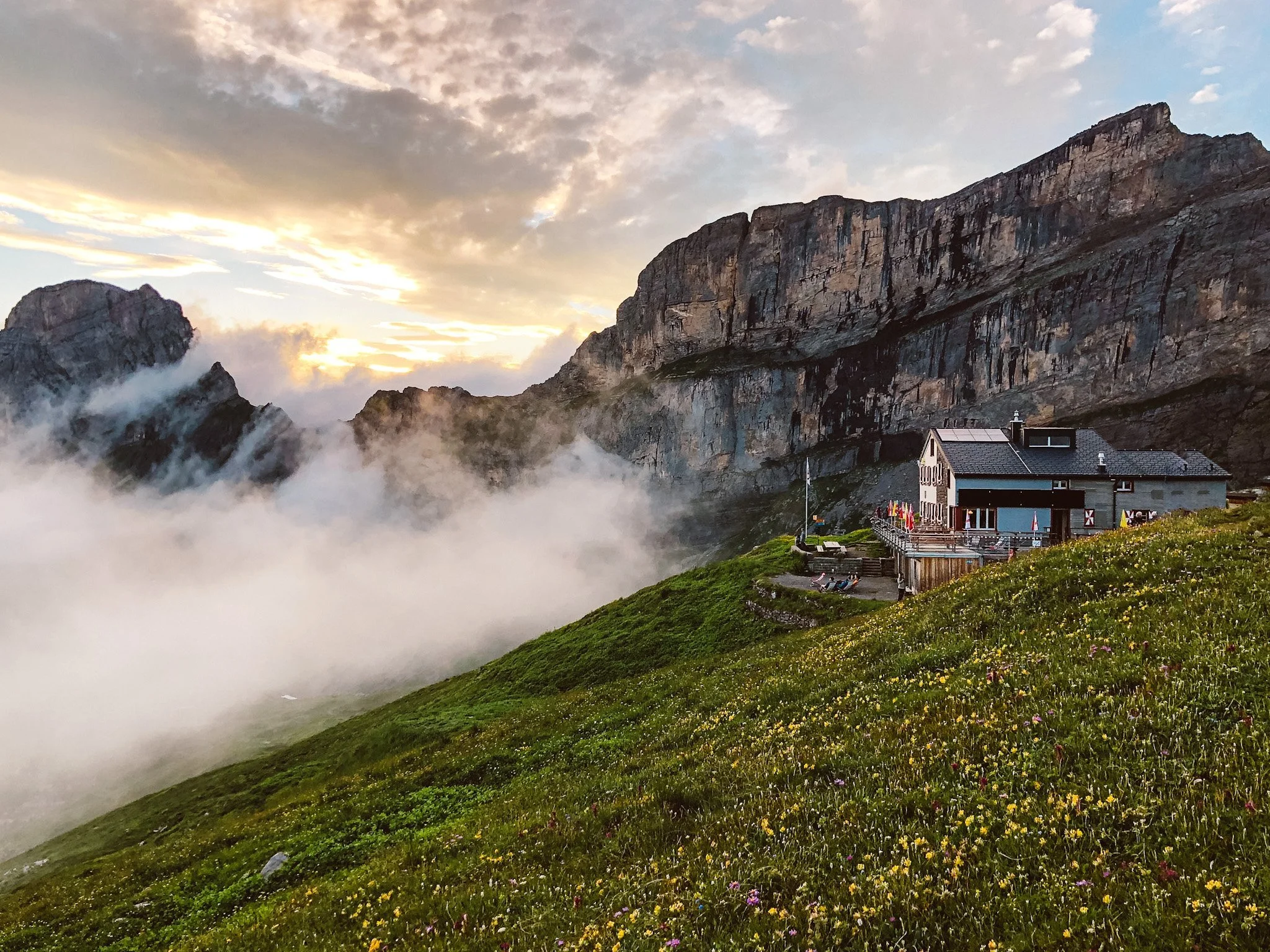
Cabane Louvie is a cozy wooden cabin perched just above the lake. The hut warden is very sweet, and everything about our stay there was excellent. I felt the most exhausted today - the icy rocks and boulder fields had slowed us down significantly, so the day’s hike was much longer than anticipated (6.5 hours of hiking time instead of 5) - and this hut was the perfect place for my very weary feet.
11km, 750m ascent/1200m descent, ~6.5 hrs
Day 4: Cabane Louvie - Cabane FXB Panossière
Day four was another big day. We needed to hike all the way down into the valley to the village of Fionnay, and then hike all the way back up the other side. Oof.
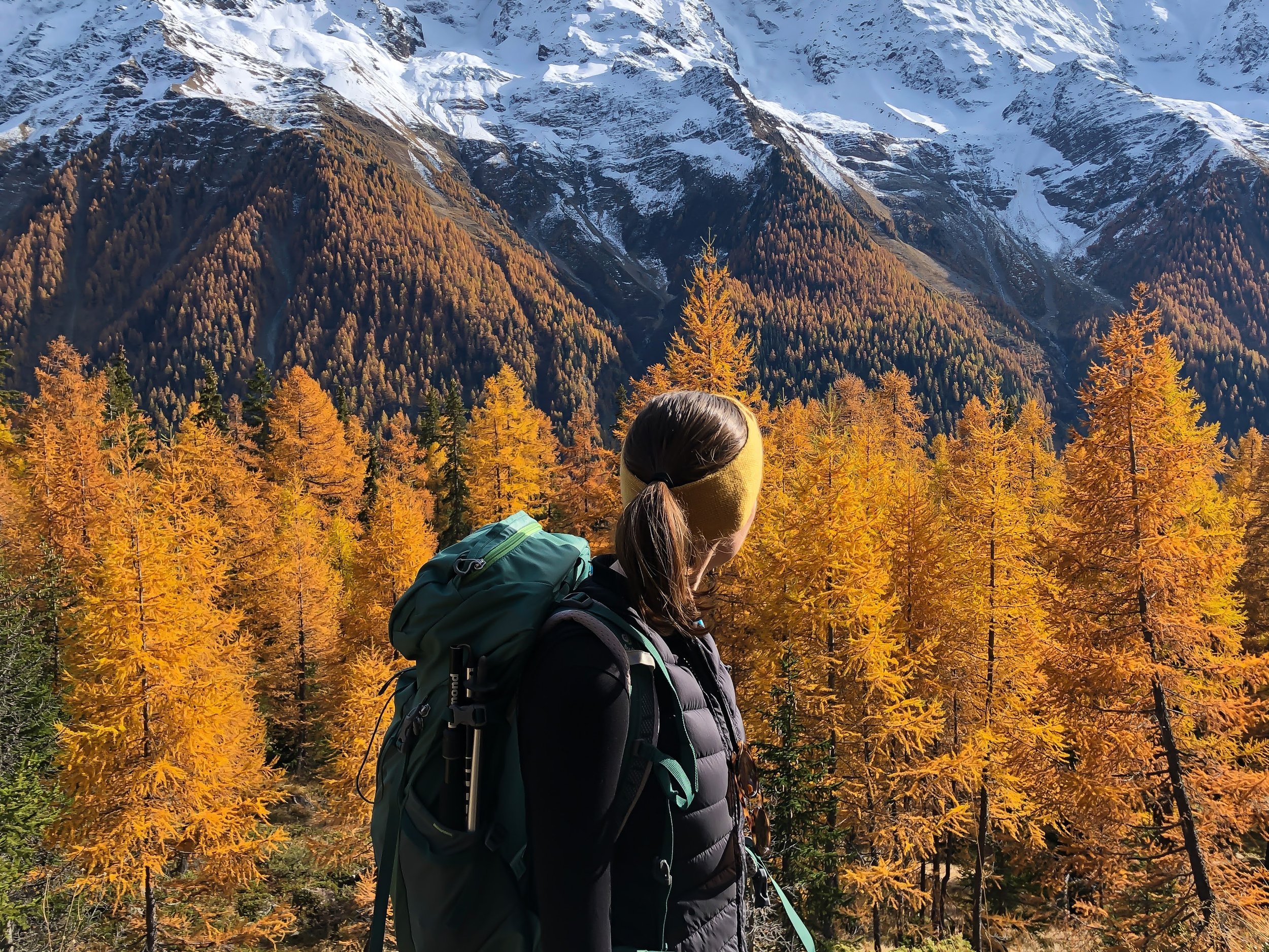
The descent is fairly straightforward, first along a narrow gorge (some steep drop-offs, but well secured with chains), and then a series of switchbacks down the mountain. Once in the village, we stopped at the only cafe open for a coffee and a takeaway sandwich, and then started the climb up through the forests. My legs were feeling pretty tired at this point, but I kept encouraging myself that this was one of the last big ascent of our trip. Once we passed the treeline, the pastures of the Vers le Grenier de Corbassière, and beyond, the spiky Avouillons mountain range and the snow-capped peaks of the Combins. I remember thinking this morning, I couldn’t have imagined that we’d be able to top the scenery from day three. But this landscape was extraordinary.
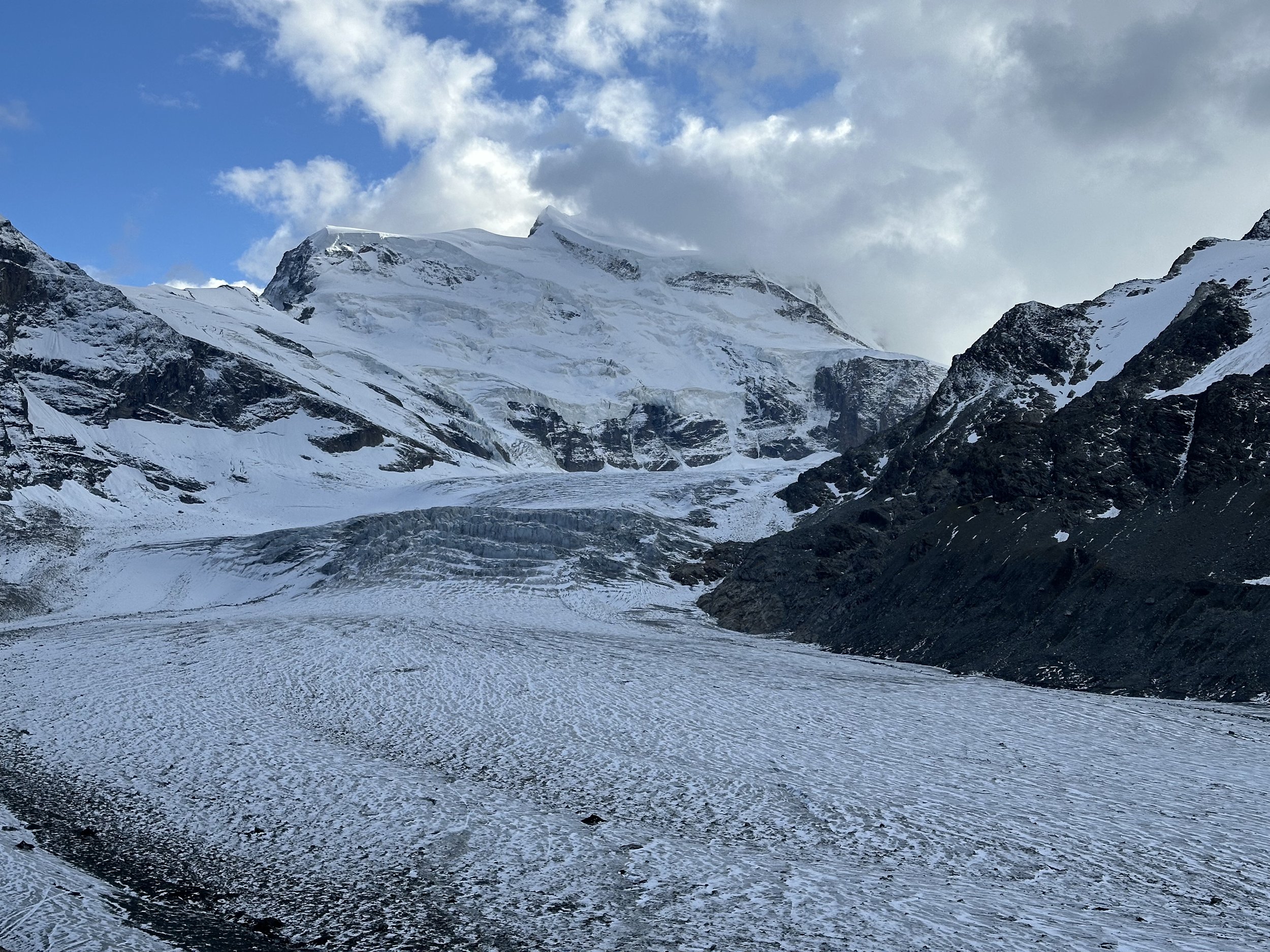
After a traverse along the bisse and another short climb, we reached a high-altitude plateau full of sheep - and just when I thought it really couldn’t get any better, the Corbassière glacier, framed by the Grand Combin massif, came into view. The Grand Combin isn’t a single mountain like the Matterhorn. It is huge and imposing, made up of several 4,000 meter peaks, with thick glaciers and glacial balconies. It’s staggering to see in person.
The hut, Cabane FXB Panossière, is in the heart of this mountain range. It’s design is modern, but it still has retained the cozy hut atmosphere. There were only about 12 of us that night, and we all ate together at one big table, swapping hiking and mountain stories.
Although clouds and rain rolled in the night before, the morning of our last day was perfectly clear. Through the window in our dorm room, I could see the alpenglow on the Grand Combin.
I was feeling a bit tired today, but chalked it up to the combination of the last four days. We set off for the very last ascent of our trip, the steep climb to Col Otanes - and were greeted by a herd of ibex at the top. Such luck!
After talking with other hikers in the hut, we know that our route today would likely involve some snow. We hit snow at the top of the pass, but the traverse was relatively straightforward. What was harder was the cold - the sun hadn’t yet risen past the high mountain peaks, and the wind cut right through to my bones. Harder still was the fact that over the course of the morning, I started to feel very sick and nauseous.
The initial descent didn’t make things easier. The route was slippery and icy, and it was hard to concentrate when I was feeling so awful. Eventually, I told Raunaq to go on ahead. We had planned to extend today’s hike to include the Mauvoisin dam, but I knew I wouldn’t be able to make it. He continued on to the lake viewpoint, and I just focused on hiking down the mountain as fast as I could (which wasn’t very fast, considering I needed to stop several times to vomit).
The buses from Mauvoisin run infrequently. I arrived to the town at about 1pm, and the next bus didn’t leave until 3:55pm, so we needed to wait. There is a small cafe/hotel, and I essentially slept on one of the cafe tables for three hours (not one of my finer moments). It was a rough end to an otherwise fantastic five days.
P.S. I know this sounds like food/water poisoning, but then Raunaq came down with the same thing a few days later, so we assume it was a stomach bug. I definitely don’t want to imply that I got sick from anything I ate at the hut! Everyone else staying there was fine.
11km, 540m ascent/ 1330m descent, 4.5 hrs
Stats
Days of hiking: Five
Nights in mountain huts: Four
Mountain passes crossed: Six
Total km: 58.3km
Total elevation gain: 4232m
Trail rating: T3, challenging mountain hiking
Final Thoughts
We hiked in early September, which is technically the start of the shoulder season, and we essentially had the entire trail to ourselves the entire time. This area will be much busier in the height of summer, especially because the middle stages overlap with the very popular Haute Route.
Overall, I thought this entire trail was spectacular, from start to finish. There were no “meh” sections - if anything, the views got better and better with every step. The landscapes are sweeping and varied; every day feels different. It is almost exclusively a high-alpine trail, and we only dipped down into the valley once (briefly) throughout the whole five days. The Valais Alps, in my opinion, are the most striking of all the Swiss Alps, and I loved being able to spend so much time in their presence.

