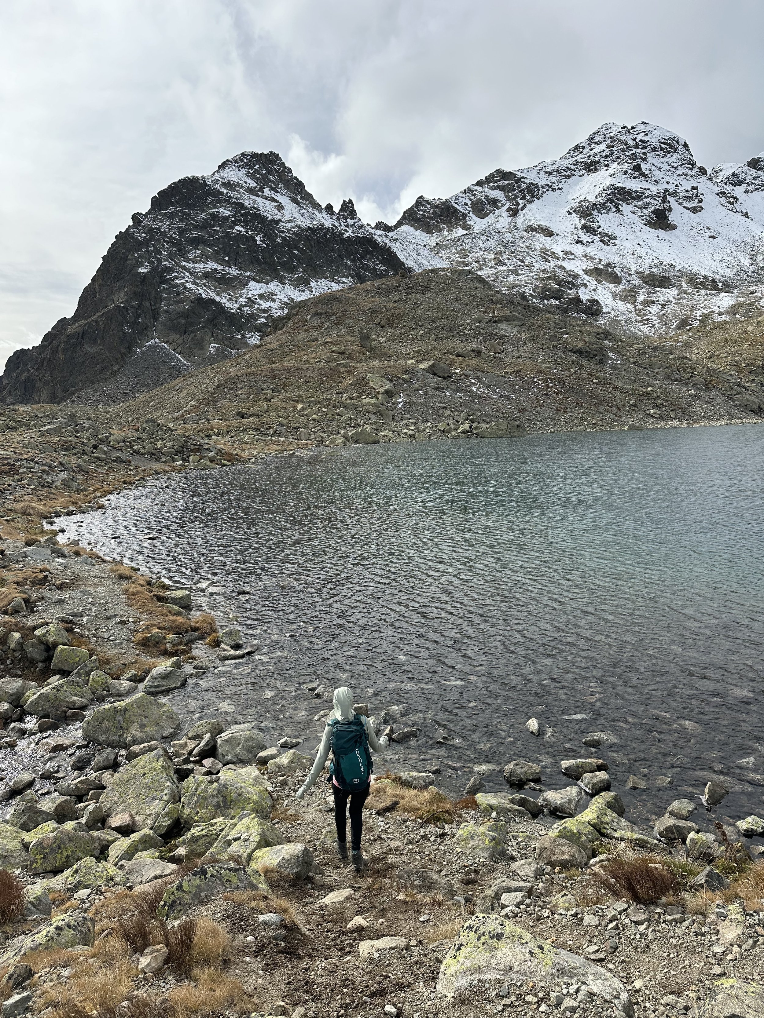
Lej da la Tscheppa: Graubünden (Upper Engadin)
An autumn hike that checks all of my boxes: Golden larches? Check! Big turquoise lakes? Check! Small alpine lakes? Check! Mountain views everywhere? Check! Big climb? Check! Panoramic plateau? Check!
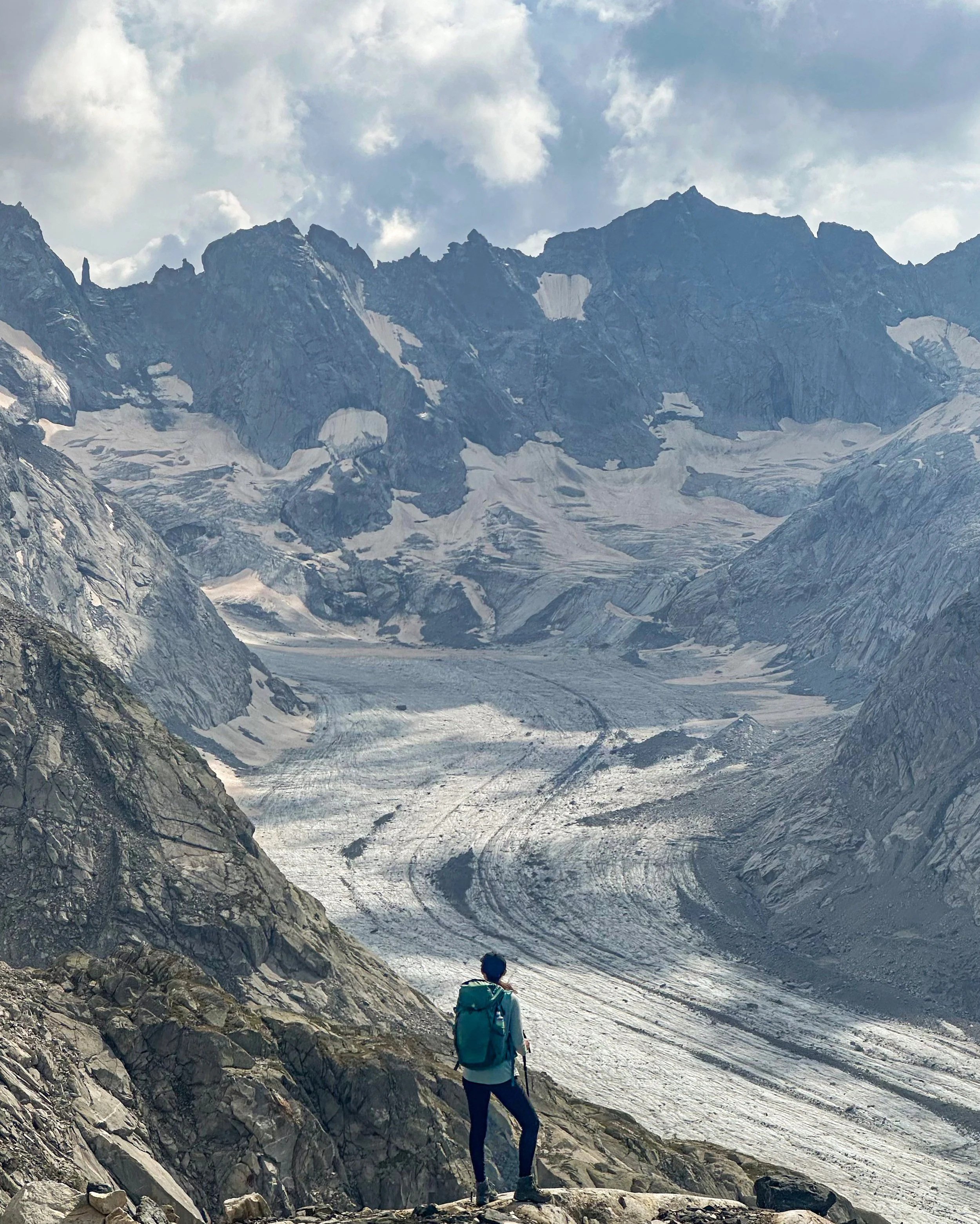
The loop trail starts and ends at Silvaplana. I hiked this clockwise, and the first few kilometers gently traversed the larch forest above the blue Lej Silvaplana. The section is pretty steep, climbing up 800 meters in three kilometers. But once above the treeline, the views really open up and the whole mountain+lakes panorama of the Upper Engadin is really spectacular. The remote Lej Tscheppa is the highest point at 2600 meters (and currently snow free as of mid-Oct 2024, exciting new for this year’s snowy autumn!). After the lake, the route follows a high plateau for a few kilometers, passing by numerous small unnamed lakes and ponds, before steeply dipping back down into the forest.
If I would do this again, though, I would do the trail counterclockwise. This way, your back is to the motorway while you climb, and then you’ll be able to descend with a view of the lakes the whole time.
Bonus: Extend the hike to include the path through the larch forests along the eastern side of Lej Silvaplana.
Start/End: Silvaplana
12km, 950m ascent/descent, 5 hours, T2/T3


