Raunaq's Hikes - Part 4: Ticino Huts [Guest Post]
You must really be a glutton for #summerofraunaq hikes.
Welcome to the 4th and final installation of of the #summerofraunaq hikes.
#summerofwhat?! If you stumbled upon this without reading the disclaimers and caveats (this is a guest post) you can find them all listed in Part 1 here.
Some hiking in the Italian region of Switzerland
I couldn’t skip the Italian region during the #summerofraunaq so did a couple of days of hiking south of the Gotthard tunnel.
Altanca to Capanna Cadlimo
While there’s an official trail up to Capanna Cadlimo from the Ambri-Piotta train station - I recommend taking the bus from Ambri-Piotta up to Altanca. The bus ride is pretty roundabout (and precarious) but the climb would just be through some roads and villages.
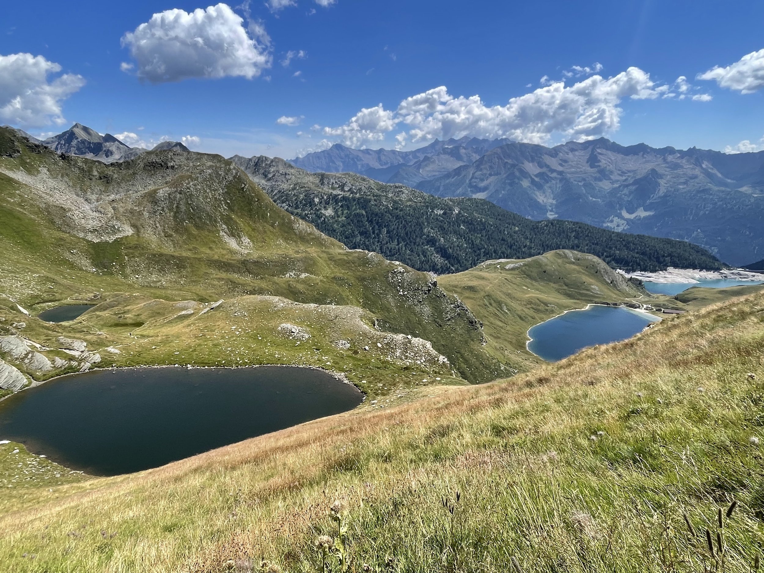
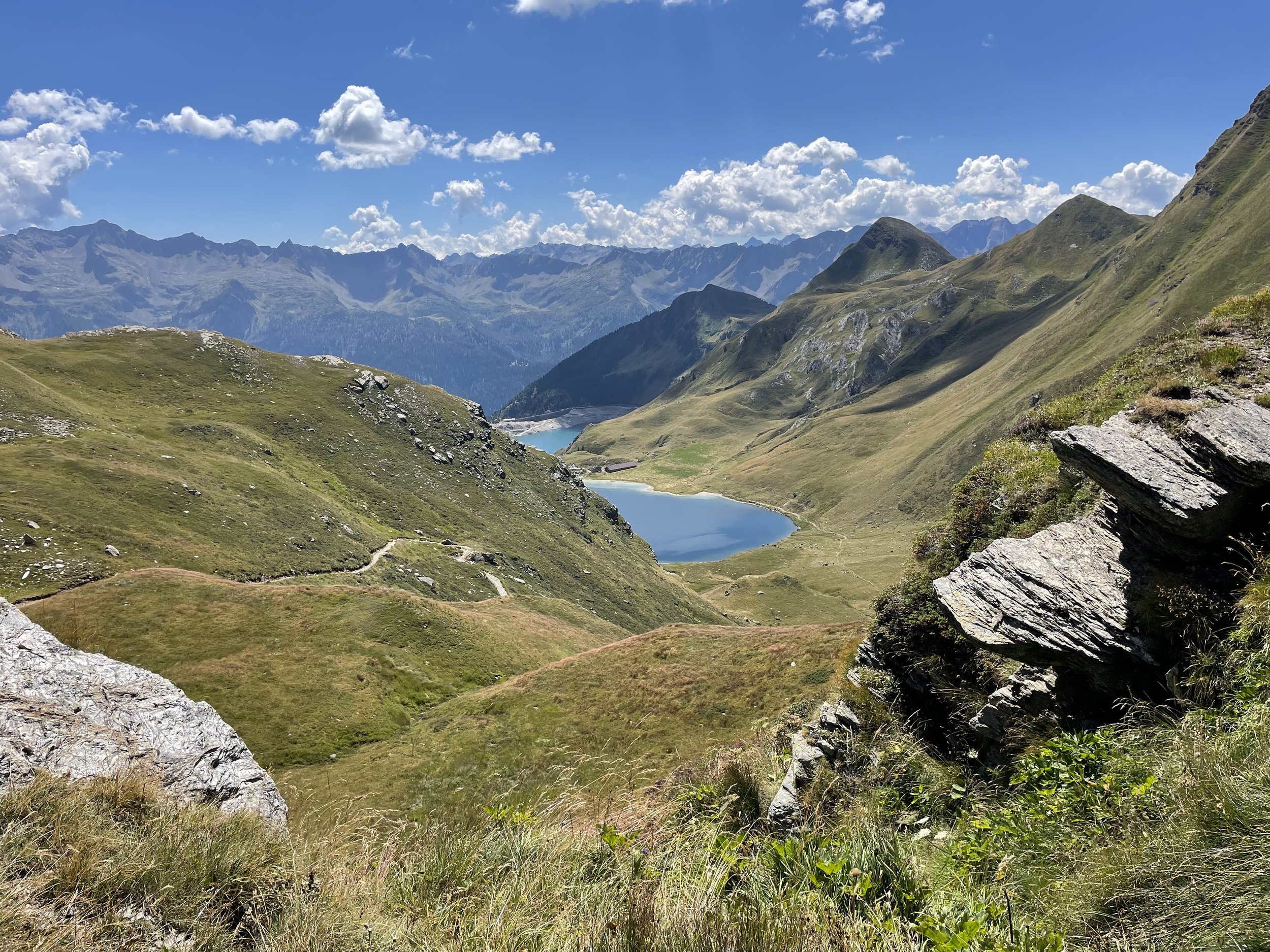
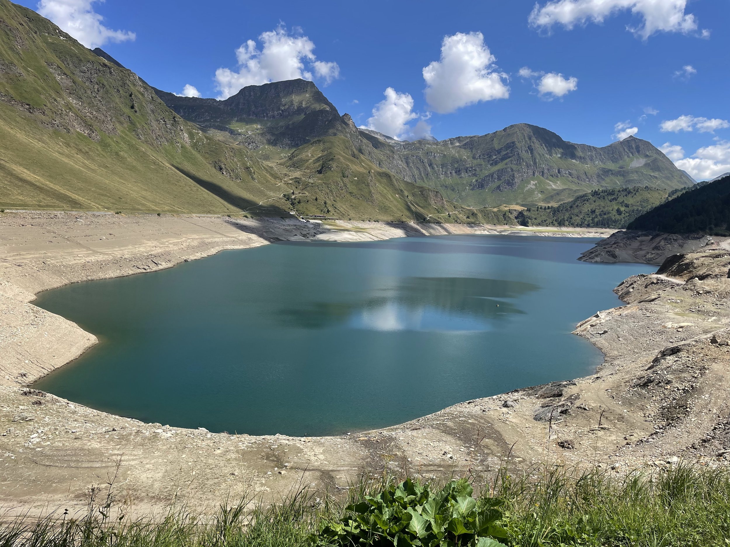
The climb up from Altanca takes you up to a dammed lake (Lago Rítom) with a restaurant. There’s a direct route up through a valley to Capanna Cadlimo but I took a more roundabout path because I wanted to see all the lakes that one could on the way up.
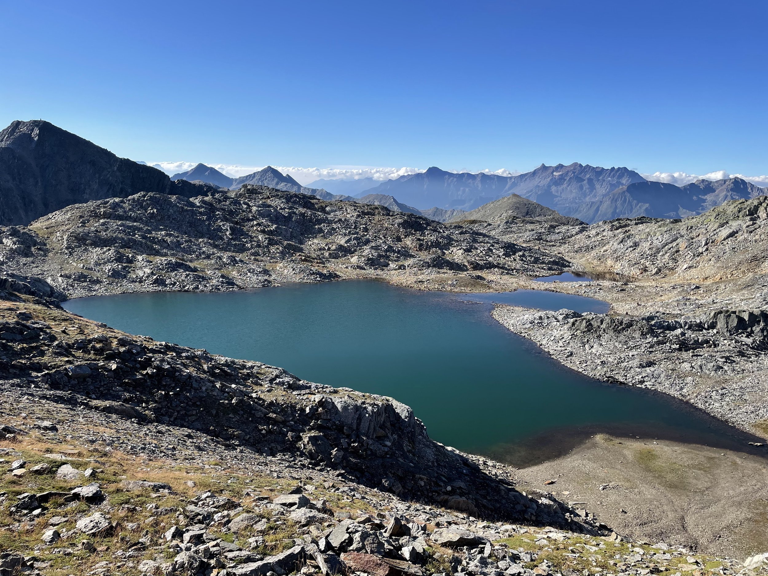
It’s a short walk to Lago Cadagno where there’s another hütte (and you can drive all the way up to this one!). From there there’s constant set of uphill that takes you past a series of lakes - Lago di Tom, Laghetti di Taneda, Lago Scuro and Lago di Dentro. The cool thing about this path is that you can look down through all the lakes you passed - kind of like lake inception.
The final section to Capanna Cadlimo is across a small rock field so there’s some parts where you need to watch where you place your feet.
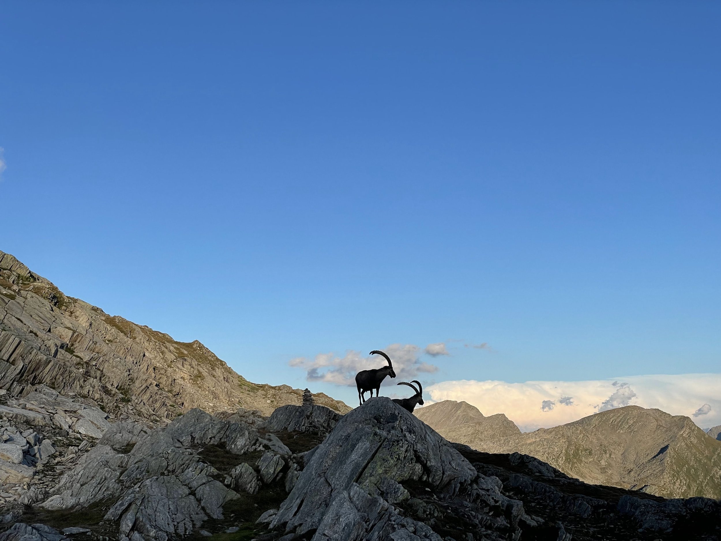
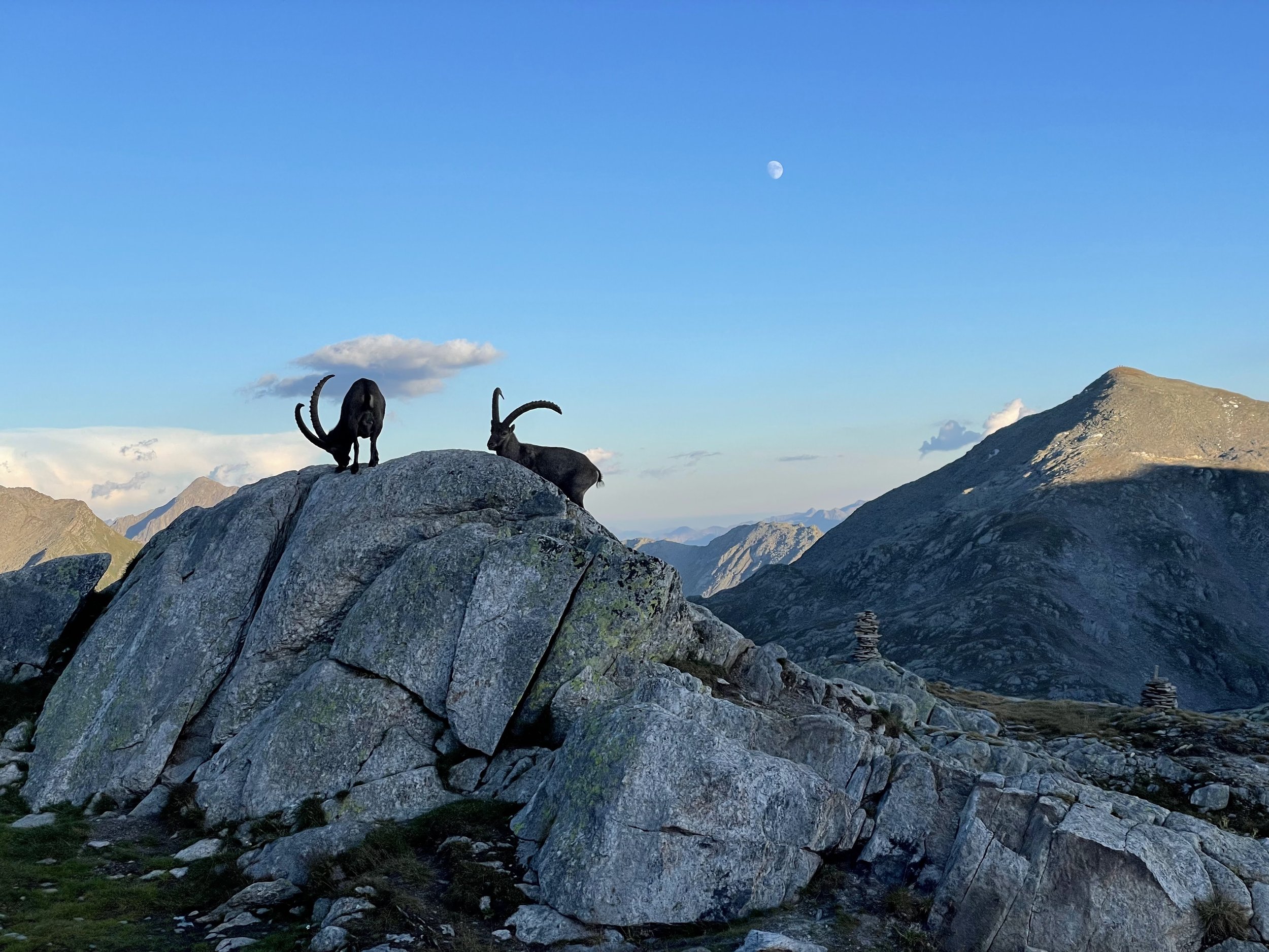
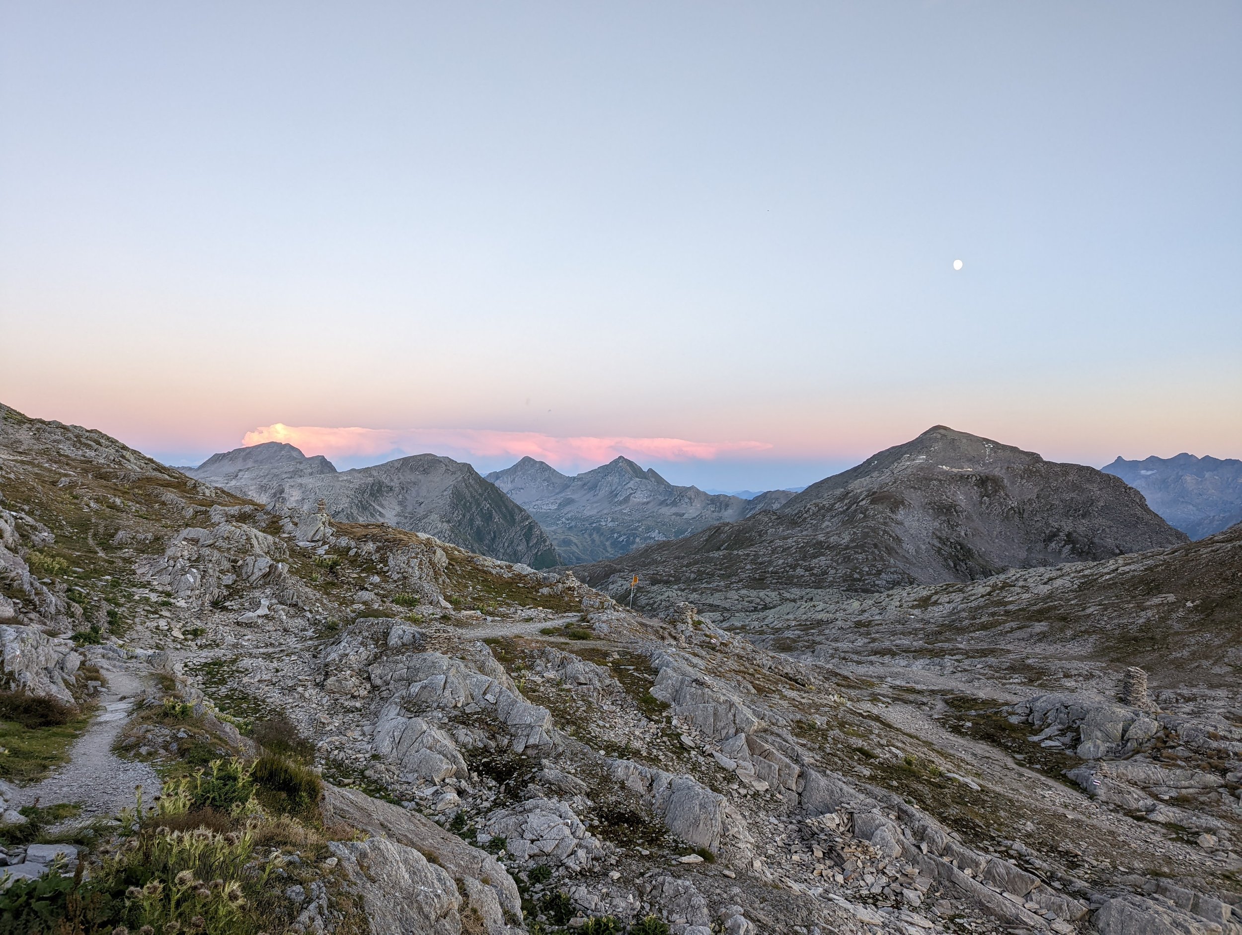
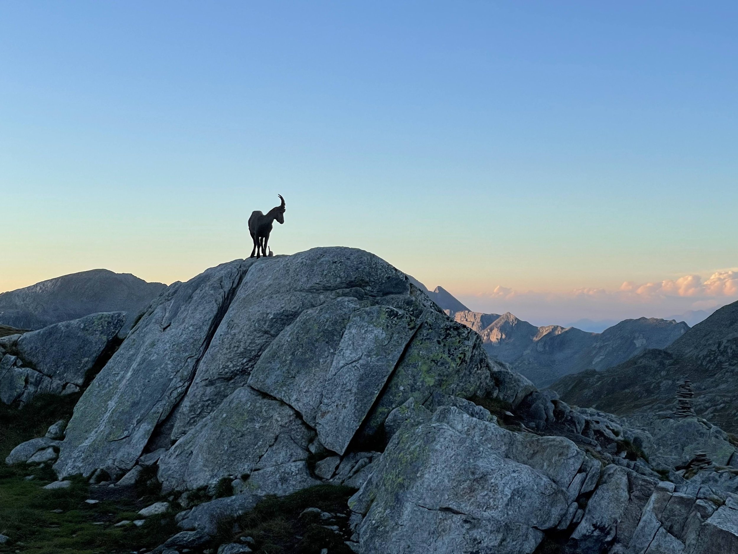
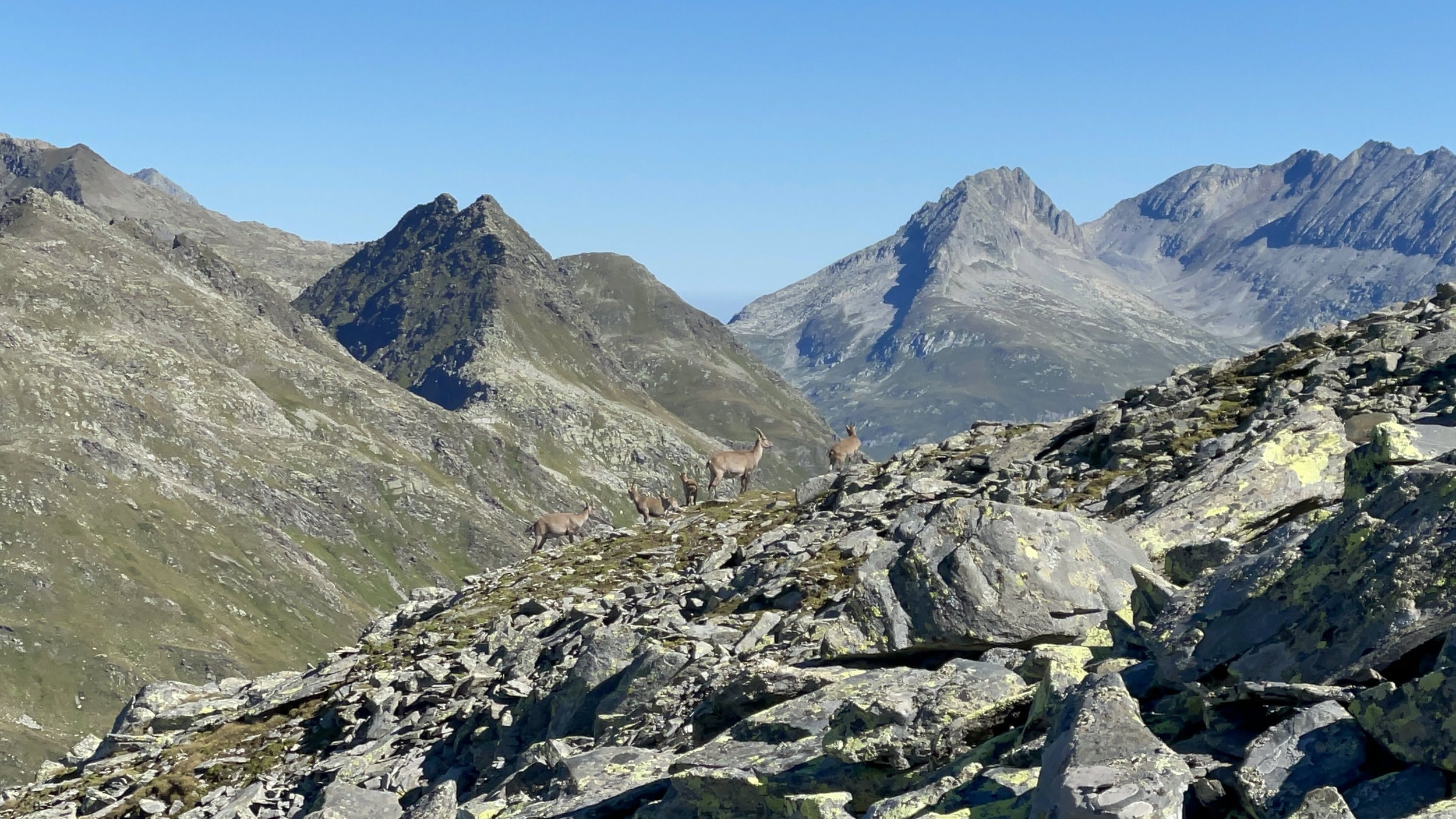
Capanna Cadlimo is a nice hütte. They have a salt lick for steinbock to feast on in the mornings and evenings so there’s some fancy goat watching possibilities. However, the time I was there the hütte was full so it did feel like a bit of a zoo once the animals made their dinnertime appearance.
Difficulty: Moderate | Length: 12km / 1300m up / 100m down | Route
Capanna Cadlimo to Oberalppass
This was the most hair raising day of hiking I did during the #summerofraunaq. After checking with the warden at Capanna Cadlimo and talking to a few folks at the hütte I decided to tackle my first blue and white section.
This section took me from the hütte over Passo Bornengo down to Pass Maighels. The actual path is very well marked and secured but there’s a few hairy sections.
Luckily I met this nice older German man at the start of the hairy sections and we agreed to be each others ‘hilfe’ buddies (hilfe = help in German) , though in reality I was the one that probably needed him more than the other way around.
The first crap my pants moments came when there was a very narrow, rocky ridge I had to cross (it did have a cable along it) with pretty big drop offs on either side. The second crap my pants moment was a descent (also secured by cables) that I scraped my ass all the way down. The picture below is of the first crap my pants moment. I was too nervous to take a photo of the second moment.
This was scarier than it looks in the photo.
Even after the second crap my pants moment, the rest of the descent down to Pass Maighels isn’t a walk in the park. But I made it!
In hindsight I’d do it again but with a hilfe buddy I bring with me instead of accidentally running into one on the trail.
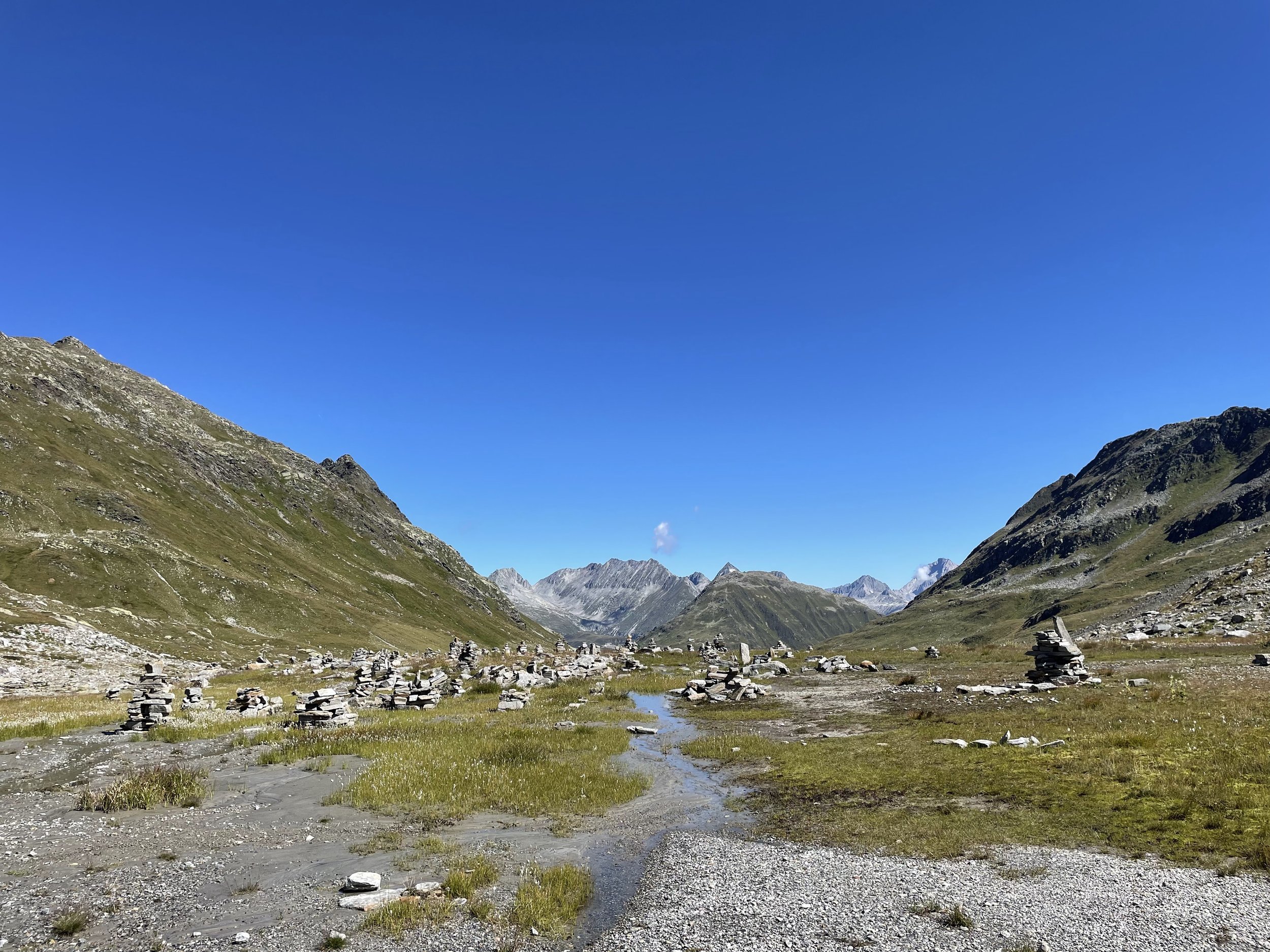
Comparatively, the route from Pass Maighels to Oberalppass is pretty simple - its slightly downhill the entire way over a pretty high altitude valley. There’s a nice hütte (Camona da Maighels) to stop by for lunch before continuing on to Oberalppass.
Difficulty: Very hard | 14km / 600m up / 1100m down | Route

![Raunaq's Hikes - Part 4: Ticino Huts [Guest Post]](https://images.squarespace-cdn.com/content/v1/5c33451b710699b10e8e4576/1664467934408-L7T5J5CHFLCN4EJND6WA/IMG_8817.jpg)


![Raunaq's Hikes - Part 3: Via Alpina [Guest Post]](https://images.squarespace-cdn.com/content/v1/5c33451b710699b10e8e4576/1664464182062-ADLP11H0FH4K22OWY78M/78E30AFB-271C-40D9-9F82-2798E8A602D9.jpg)
![Raunaq's Hikes - Part 1: Kesch Trek [Guest Post]](https://images.squarespace-cdn.com/content/v1/5c33451b710699b10e8e4576/1664451604215-M4NKRUC7BKIGB3ZCARC5/20220911_160546.jpg)
![Raunaq's Hikes - Part 2: Valais Huts [Guest Post]](https://images.squarespace-cdn.com/content/v1/5c33451b710699b10e8e4576/1664460007110-3JK1DN3U3XP38QCWMLY7/IMG_9333.jpg)