Swiss Hiking 101
Hiking in Switzerland is a dream. Swiss scenery has a reputation that is well-deserved, and pictures rarely do it justice. But also: hikes are all easily accessible by public transit, gondolas can take you to the top of the mountain so you can do hikes along an alpine ridgeline, the trails are maintained and well-marked, there are countless pristine lakes where you can cool yourself off, and best of all, there is always a beer at the end.

Raunaq and I have been living in Zurich for over a year. Given that we hike a fair bit (in Switzerland and elsewhere), I thought to put together a “Swiss Hiking 101” guide for anyone interested in exploring this lovely country on foot. Generally, we hike moderately challenging to challenging trails, but if you are not an avid hiker, don’t despair. Every single mountain included in my hiking lists have trails for all abilities and interests, and no matter what you chose, it’s absolutely worth trying at least one hike while in Switzerland. It’s really a hiking paradise.
So, let’s get into it. Here is everything you need to know about hiking in Switzerland, but were afraid to ask.
P.S. If you want help in planning your next hike, check out this page.
Understand the signage
All Swiss trails are well-marked and maintained. Yellow wanderweg signs, usually in the shape of a diamond, indicate a walking or basic hiking trail. These yellow trails are family-friendly (sometimes stroller-friendly), with wide dirt or paved paths. Trails marked white-red-white (either on the sign or painted on a rock/tree) are more challenging mountain trails that will have significant elevation gains and losses, and/or some tricky sections. Trails marked in white-blue-white are technical alpine trails, and may require additional equipment and skills. All trail signs will point in the exact direction that you should go. And finally, the signs quote hiking time, not distance. Std. is shorthand for “Stunden” which means hours in German. I didn’t like this system at first (who is setting the pace??) but now I’m used to it, and have come to appreciate the general sense of timing.

**It’s impossible not to be impressed by the quality of Swiss hiking trails. But even MORE impressive is that all the trails are maintained by - wait for it - volunteers. New appreciation level: unlocked.**
Boots and gear:
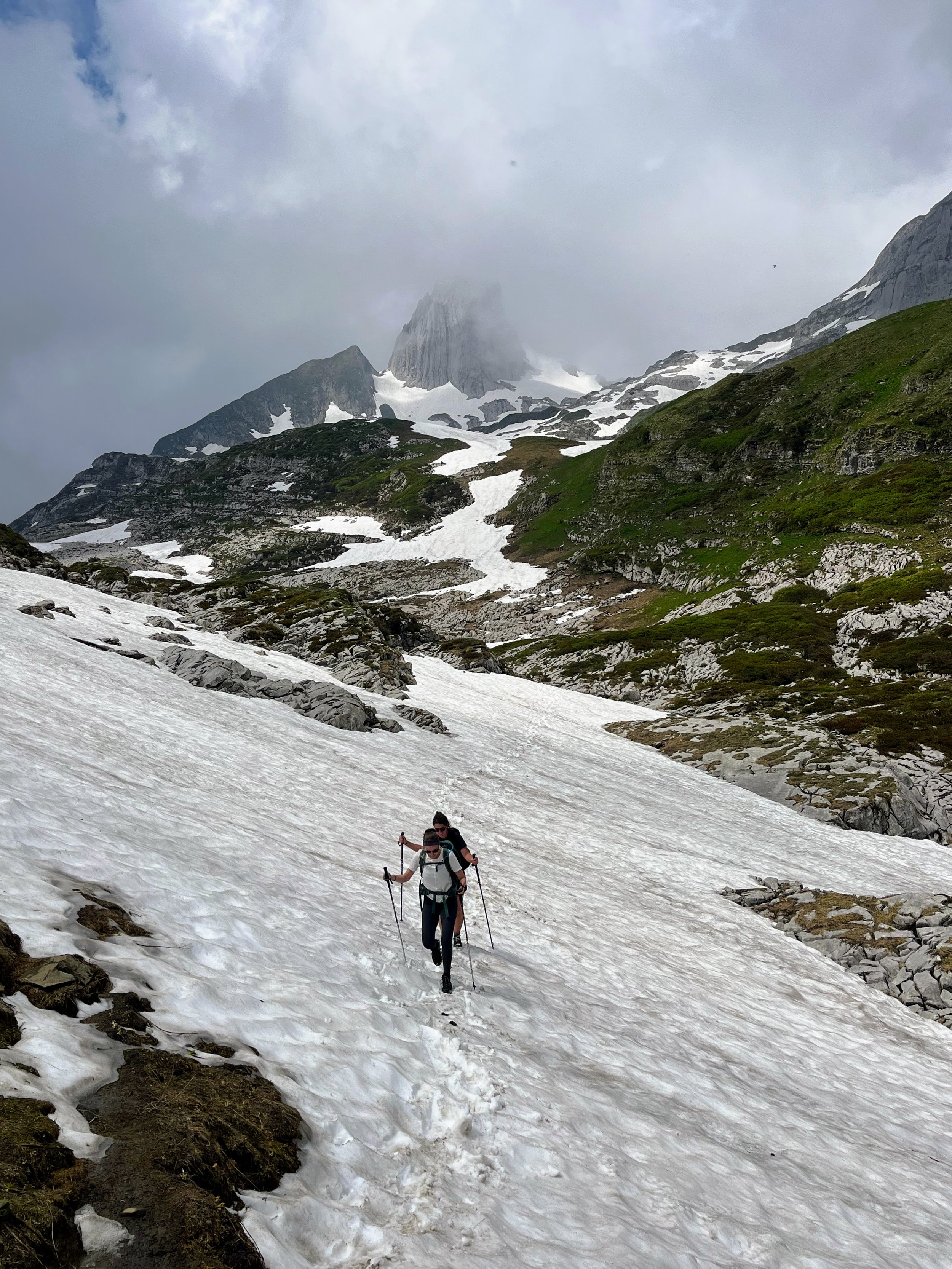
For normal yellow trails, any sneaker will be fine. But, you can assume that for any high-alpine summer hiking trail, hiking boots and hiking poles are a good idea. Boots (or trail runners) provide better stability, ankle support, and comfort than a regular running shoe. When you are on a rocky ridge 1500 meters above sea level for 10 kilometers, trust me, you’ll want that! I bring hiking poles, but don’t always use them except for when we have a long descent (to save my old woman knees). Collapsible poles are great, because you can pack them away when you aren’t using them. I also bring my microspikes with me on most hikes, which are quite useful for any unexpected snowy/icy parts.
Getting there:
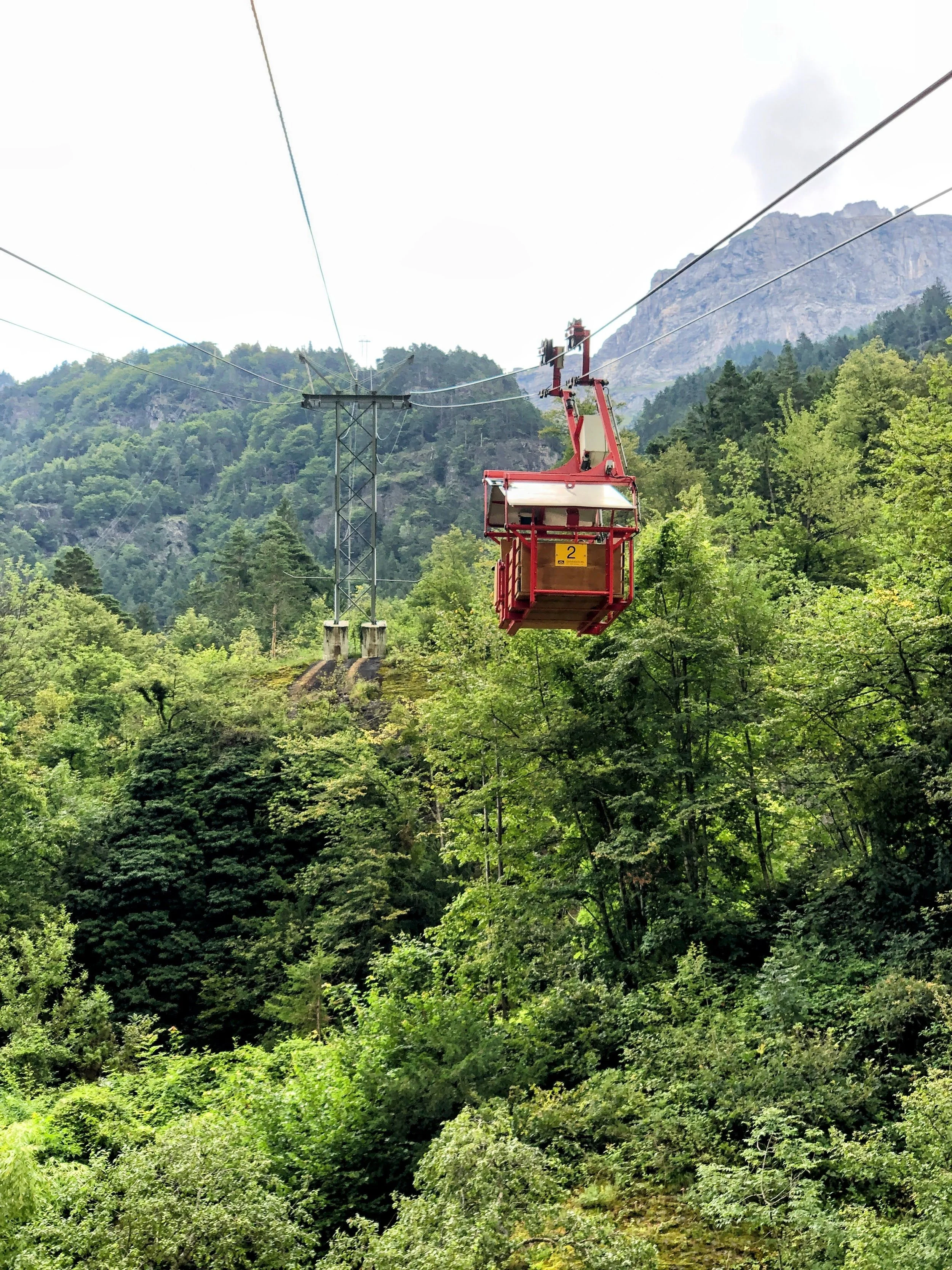
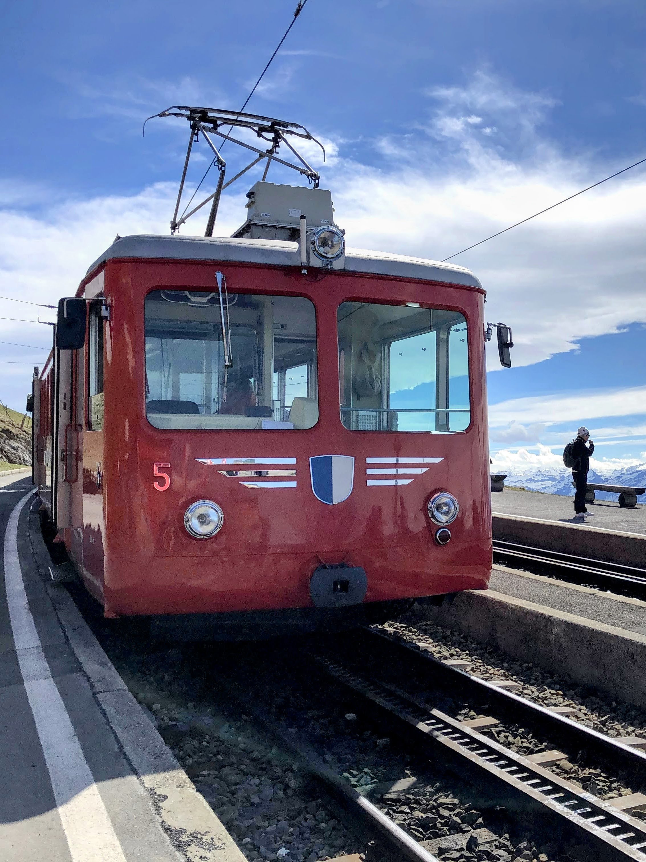
Raunaq and I take public transportation to every hike we do, and we go nearly all over the country. I could wax as poetically about the train system as I can about the scenery here. Even if there are 3 or 4 connections, it rarely takes more than a few hours from Zurich, and you can have a little apero on your way home. Win! Trains or buses usually have a drop-off at the base of mountains or cable car stations. And lots of mountains have a chair lift, gondola, or mountain train to get you to the top of the mountain to start your hike (even if it’s tiny and creaky form of transit). You can use Google Maps for directions, but I’d recommend downloading the SBB mobile app (Switzerland public transit app). It’s by far the best public transit app I’ve every used.
Know your route:
Have a general idea of your basic route before you set out. Swiss trails are the best-marked trails I’ve ever been on, and we have only gotten **slightly** lost a few times. Sometimes, the trail sign won’t indicate your final destination, but a specific mid-point on the trail. If you know at least a couple turn-by-turn directions throughout your chosen trail, you will be able to stay on track.
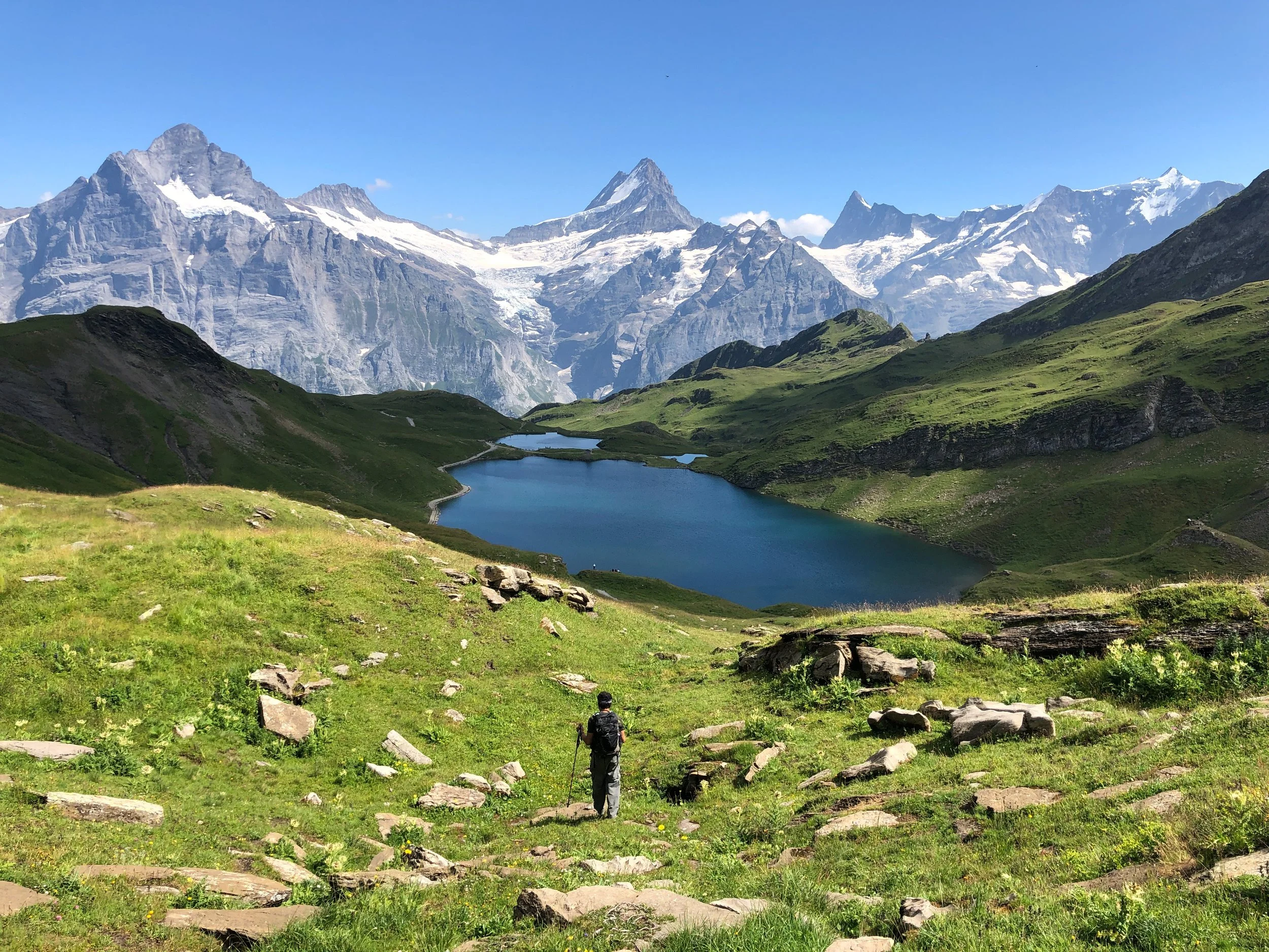
Take, for example, the hike from Schynige Platte to First. The general route is Schynige Platte - Oberberg - Faulhorn - Bachalpsee - First. From Schynige Platte, you will first want to follow the signs to Oberberg, then Faulhorn. Once you reach Faulhorn, follow the signs to Bachalpsee and First.
We also always download a GPX trail map before setting out. I like the SchweizMobile app, and Raunaq preferes SwissTopo. There’s also Komoot and Outdoor Active, so use whichever you prefer!
But truly, if you are on an official trail, it’s pretty hard to get lost.
Food and water:
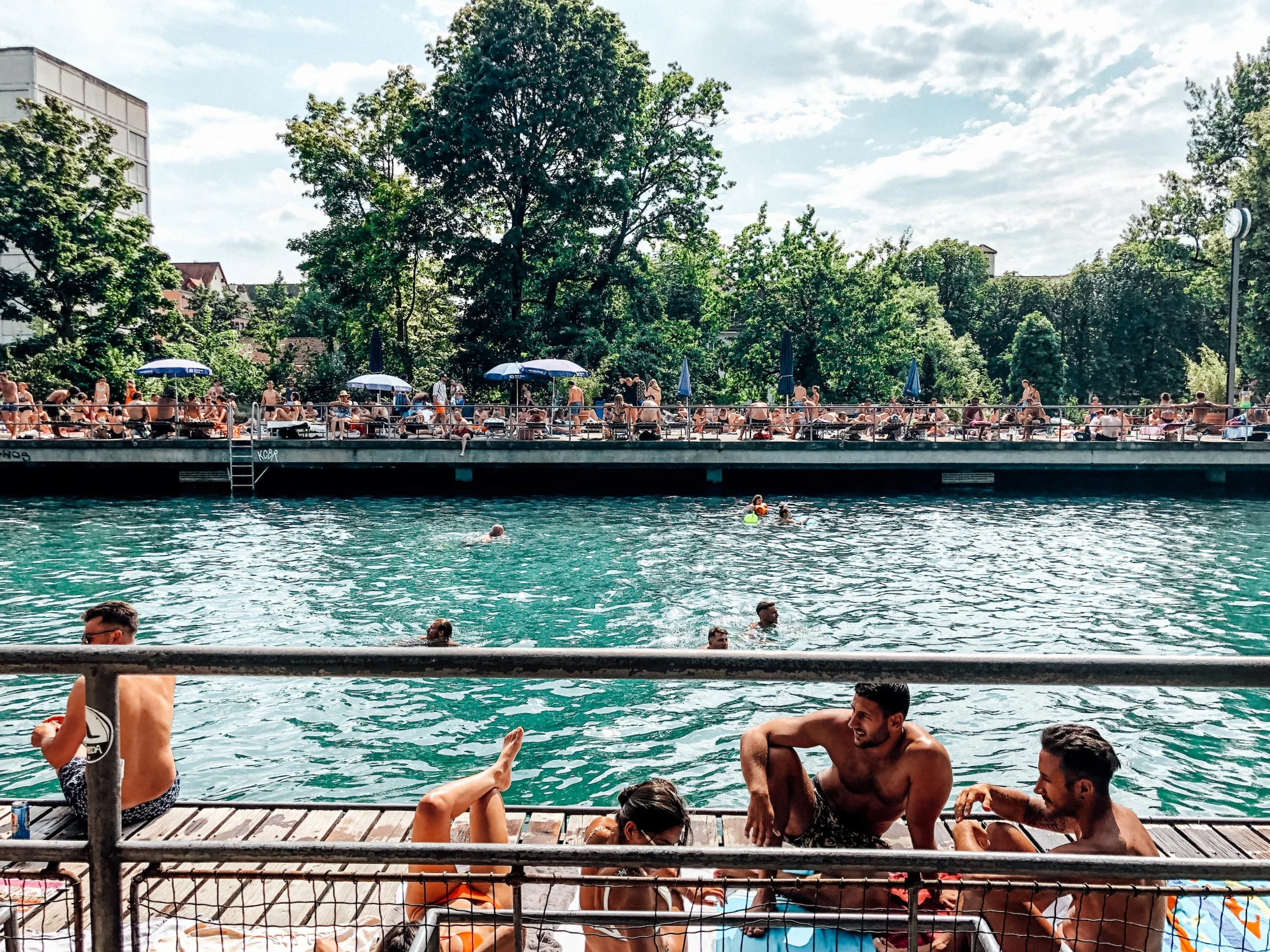
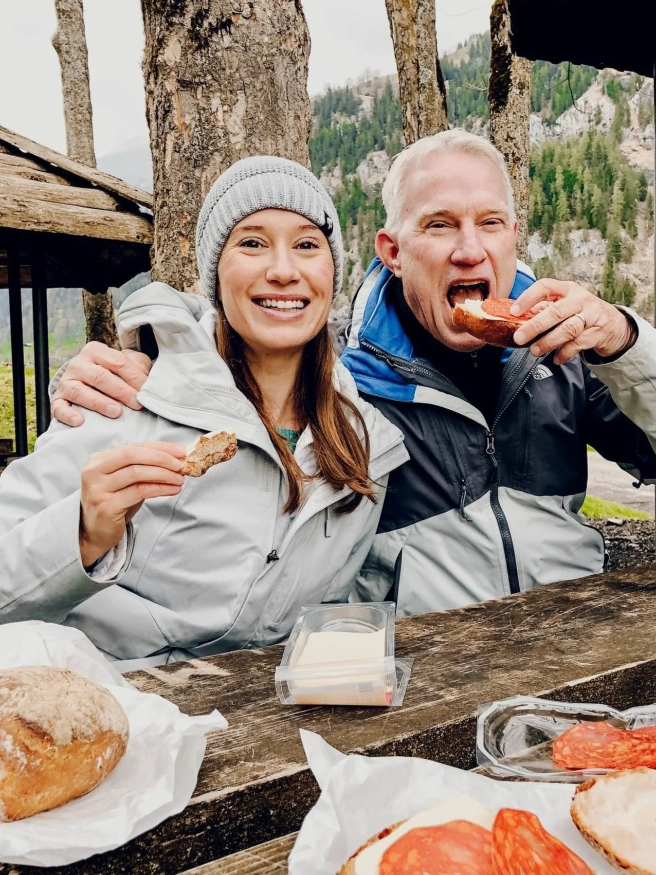
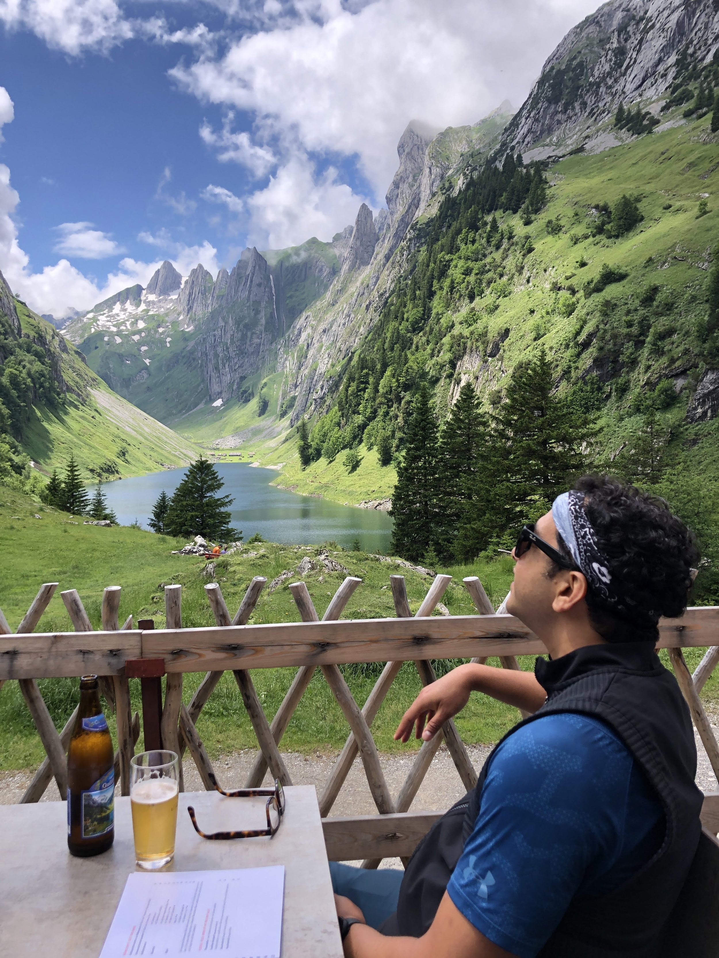
Switzerland is pretty unique in that you are generally never too far away from civilization - even on the highest mountain top. Nearly all trails will have at least one Berghaus (mountain house/hut) at some point along your route. While you should always bring enough water and snacks for your entire hike, know that there will probably be the possibility to stop in for a wurst, rosti and beer (if you are Swiss and can drink two large beers and continue hiking!) mid-trail. Some trails have benches or picnic areas. Unless indicated, you can build a fire along the trail to cook your own food. And, since most Swiss trails run through private land and farms, you can probably buy some fresh cheese or honey along the way, too.
Timing:
I’ve got two important tips on timing:
1.) For long hikes, get on the trail early. Weather changes quickly in the mountains, and while some storms can be completely unpredictable, most tend to develop in the afternoon. Ideally, you’ll be having a celebration beer by then!
2.) Check the gondola and/or mountain train schedules before you set out. On some mountains, the last ride back down to the valley is relatively early (around 4:30 or 5pm). Don’t get stuck on the mountain. That could mean after a long day, you will have to do another 2-3 hours of descent. Bleh.
What to wear:
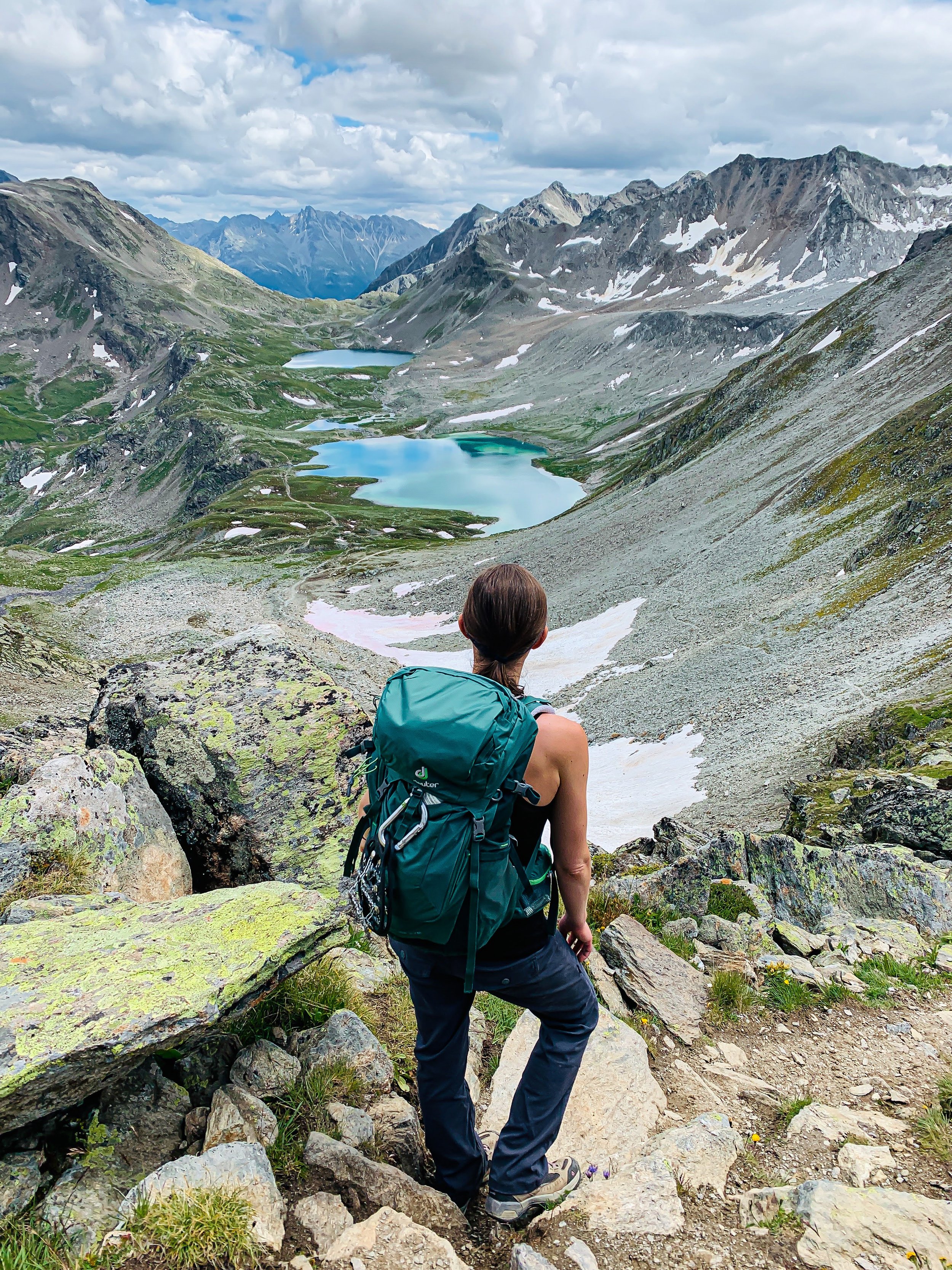
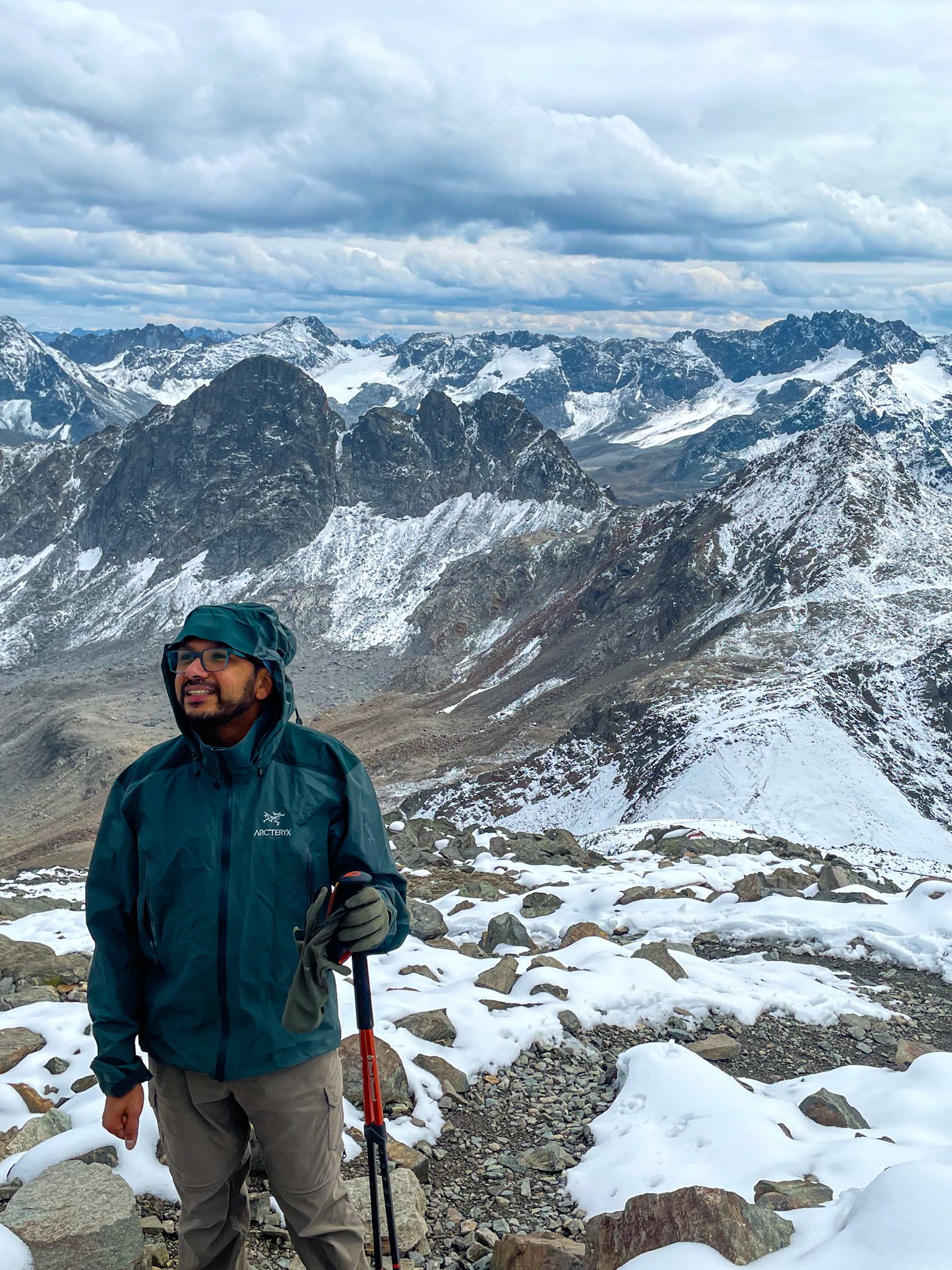
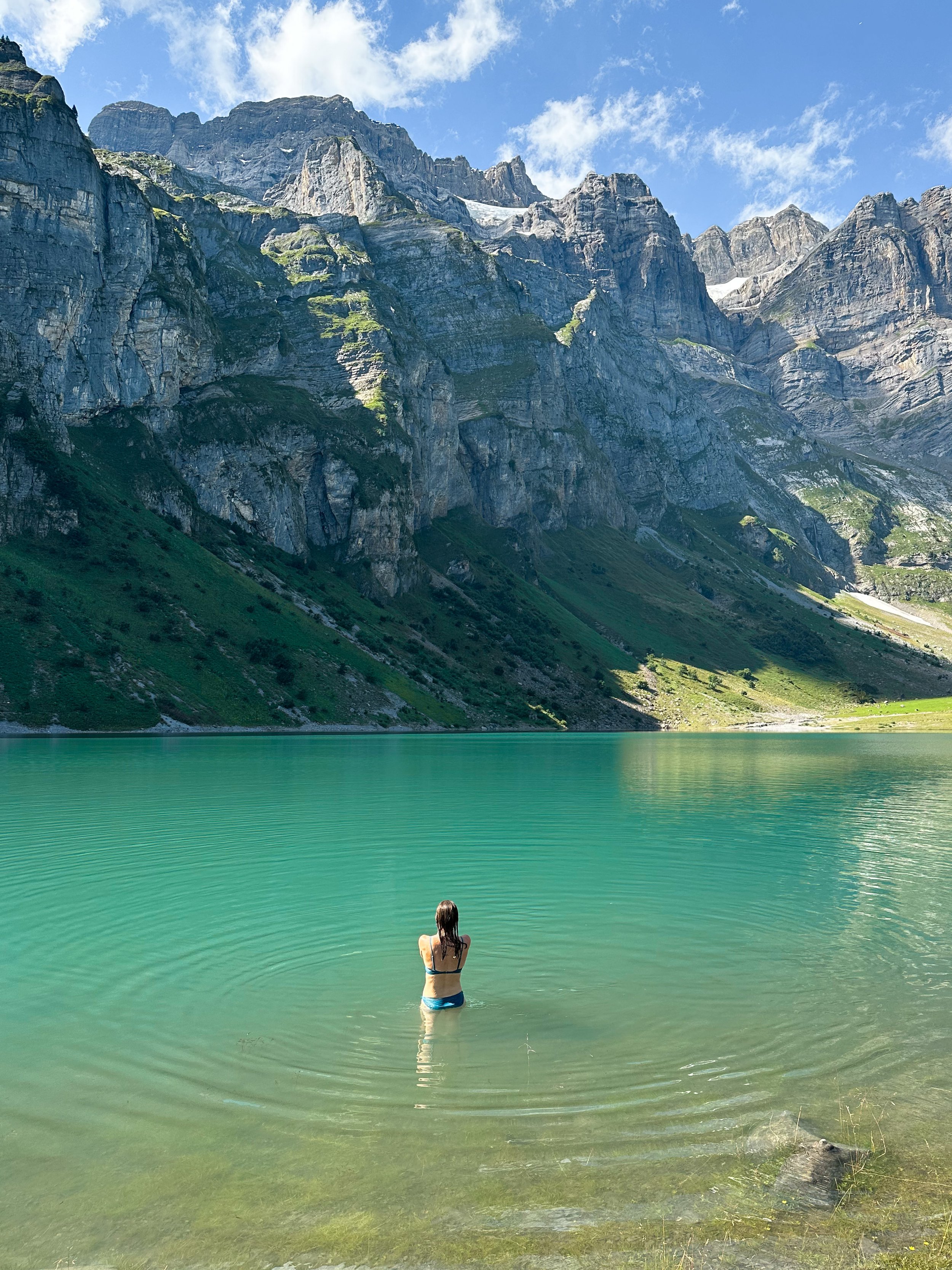
I mention the weather a lot, but it’s because I’m from California, where weather is pretty standard and predictable. The forecast you read about in the morning is the forecast you will get. But in the mountains (or really just anywhere in Switzerland), you can experience all four seasons in one day - even if there is a forecast for sunshine. So I like to be prepared for all the things. Along with the basics of a hat and sunglasses, I always bring an extra warm layer or two, and a rain jacket. If the forecast is questionable, I also bring my rain pants. In the summer, we also pack a swimsuits (in case there is a lake to swim in) and flip flops (for swimming, or to just change out of our hiking boots for a 3 hour train ride home). I stuff it all in a 35L-sized backpack.
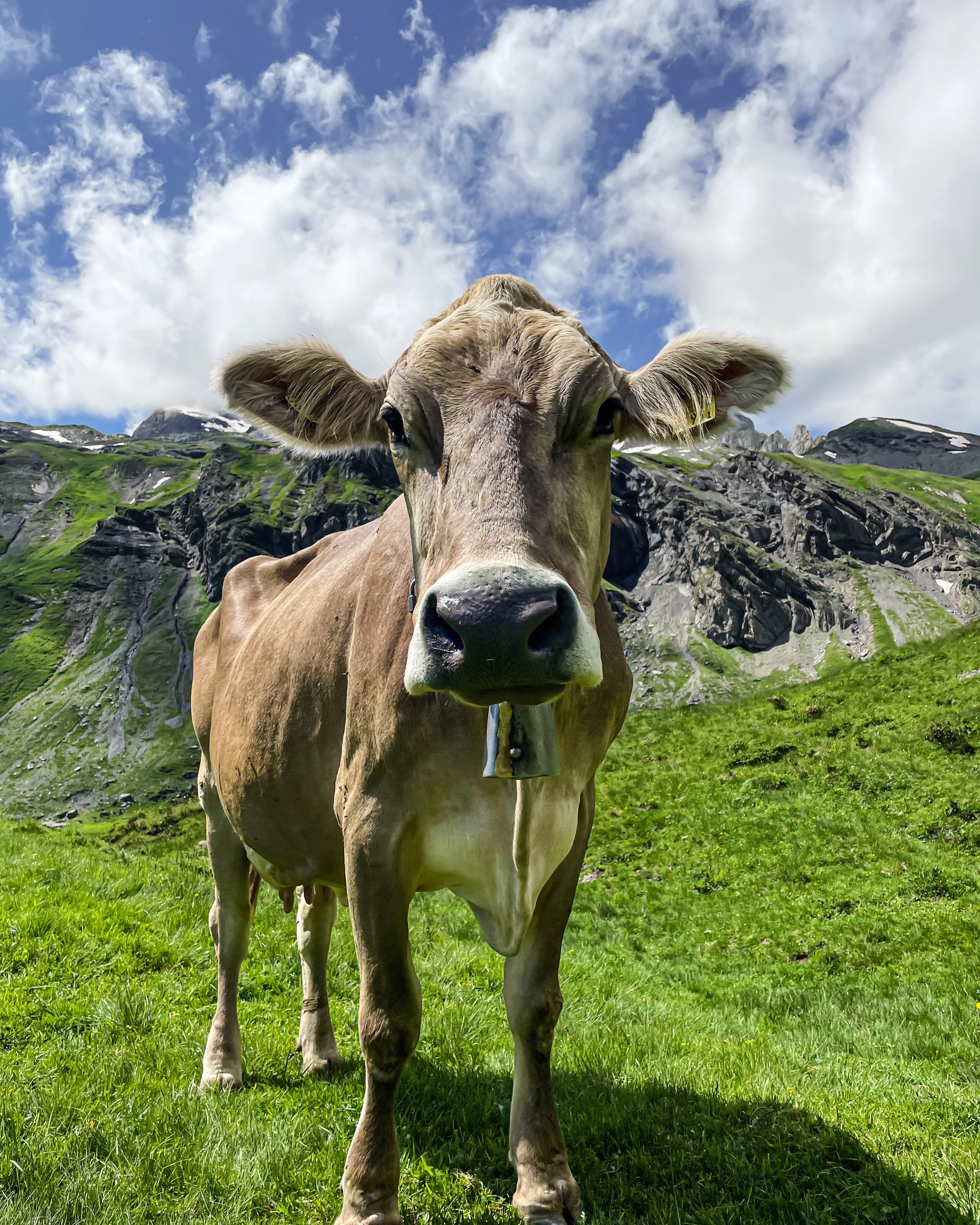
Cows:
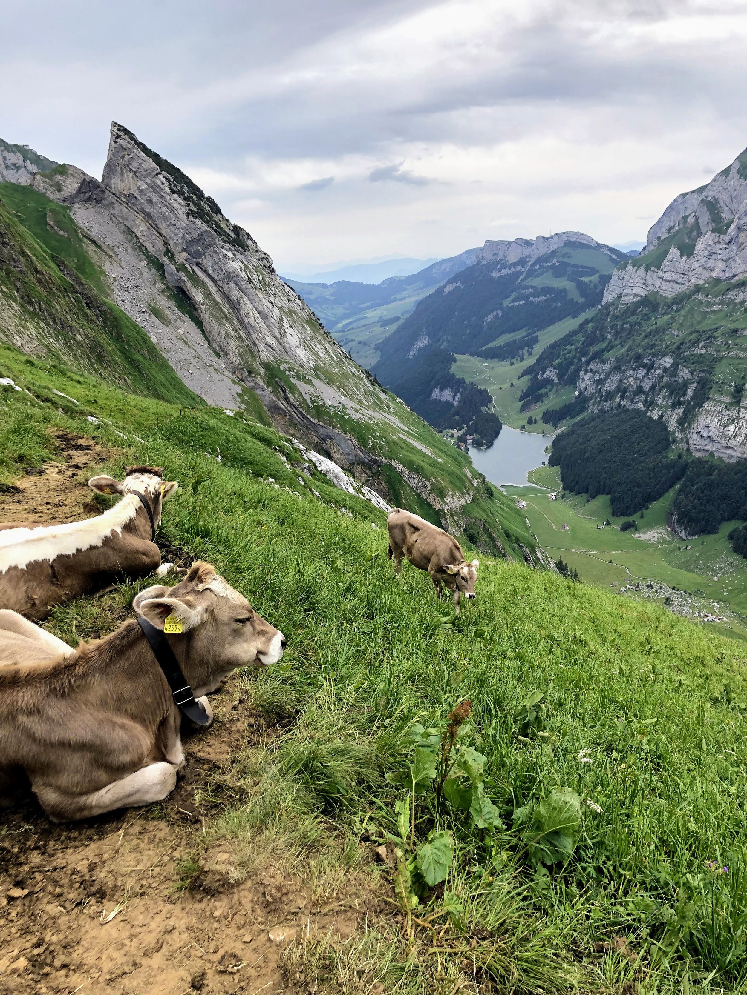
There aren’t too many wild animals to worry about when hiking in Switzerland, but I can almost guarantee that at some point, you’ll come across a herd of cows. I know what you’re thinking - a warning about cows? Because yes, cows are generally very sweet and docile, only posing a problem when they decide to take a nap right on the narrow trail. But, cows can and do attack. While this has never happened to me, I’ve heard enough stories of cows getting aggressive with hikers to be wary. Just be attentive to the behaviors of the cow, and err on the side of caution. In particular, mother cows are very protective of their calves, so if you see baby cows, as very cute as they are, it’s best to steer clear.
Choose the region based on the weather:
Switzerland may be small, but the climate can vary greatly depending on the region. It can be pouring rain in Appenzell in the northeast and 30 degrees and sunny in southern Ticino. I heartily recommend downloading the MeteoSwiss weather app. We’ve found this to be much more accurate than the standard iPhone weather app, and it will give real-time weather updates, warnings, etc. I personally have saved a bunch of different mountain locations on my app, so a couple days before the weekend, I can scroll through and see where the best weather will be on Saturday or Sunday. Then, I use that to determine a region, and search for a new trail to try out.

Check trail conditions beforehand:
If you are planning to do a high-alpine hike in late June or early July, it’s important to check on the gondola and trail status beforehand. Most Swiss mountains have corresponding websites with webcams, hikes, and trail conditions. Just Google search the name of the mountain or region, and one will most likely pop up. I also like to utilize social media for this purpose.
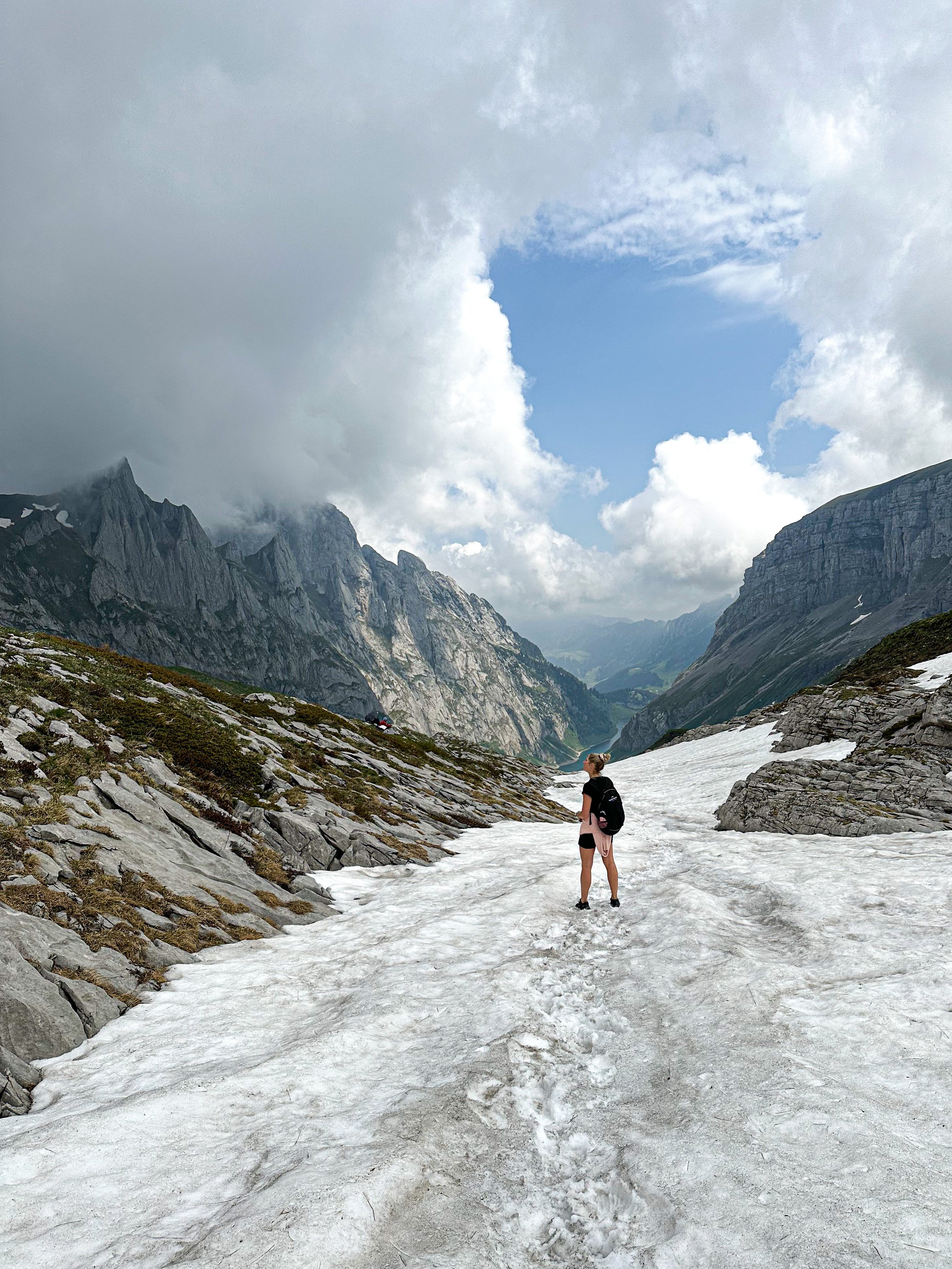
Also, keep in mind that snow fields often persist late into the summer season, especially on north-facing slopes.
What to say:
Don’t do what I did and say “Bitte!” to everyone passing you on the trail. They are not saying “bitte!” to you. That means please. They are saying “Grüezi!,” and it’s a nice way to greet someone as you pass by. If there are two or more people, you might hear “Grüezi mitenand!” However, this is for hiking in the German areas of Switzerland - for the Italian or French areas, adjust languages respectively!
And finally - what do if something goes wrong
This is mainly for my mom, so that she doesn’t worry. Accidents may be rare, but they can happen anywhere, on any trail. If you do have an emergency on a hike, there are emergency services. Rega is the non-governmental, non-profit Swiss air rescue service. Their goal is 15 minutes to the injured person, and have helicopters throughout Switzerland to ensure they can reach anyone, anywhere. For folks living in Switzerland, become a member. Raunaq and I are, and so are 3.5 million other Swiss residents. It’s just thirty francs a year, you are supporting an amazing organization that not only rescues people in distress but provides other global humanitarian work, and yeah - you simply never know when you’ll need it yourself.
Ready to get on the trail and wondering where to find a great Swiss hike? Good news! You are already here (hi!).

I’ve been documenting all our favorite hikes since summer 2018. So, that’s a good place to start (she humbly brags).
For hiking research, I mainly use good ol’ Google, Switzerland Mobility (which details hundreds of trails all over the country), Swiss Family Fun (great blog with family-friendly hiking and super specific directions), WegWandern and the SAC website. The Facebook group “Outdoors in Switzerland” also has lots of great advice.
For apps, try out one of the following: Komoot (tons of hiking/biking trails with excellent planning and navigation tools), Fat Map, or Bergfex (mainly for winter sports and snow reports, but you can also find summer mountain hiking trails).
Beyond that, I find there to be a surprising lack of Swiss hiking blogs, so hopefully, this can become a resource for you. Happy trails!