Gurnigel to Stockhorn: Bernese Oberland
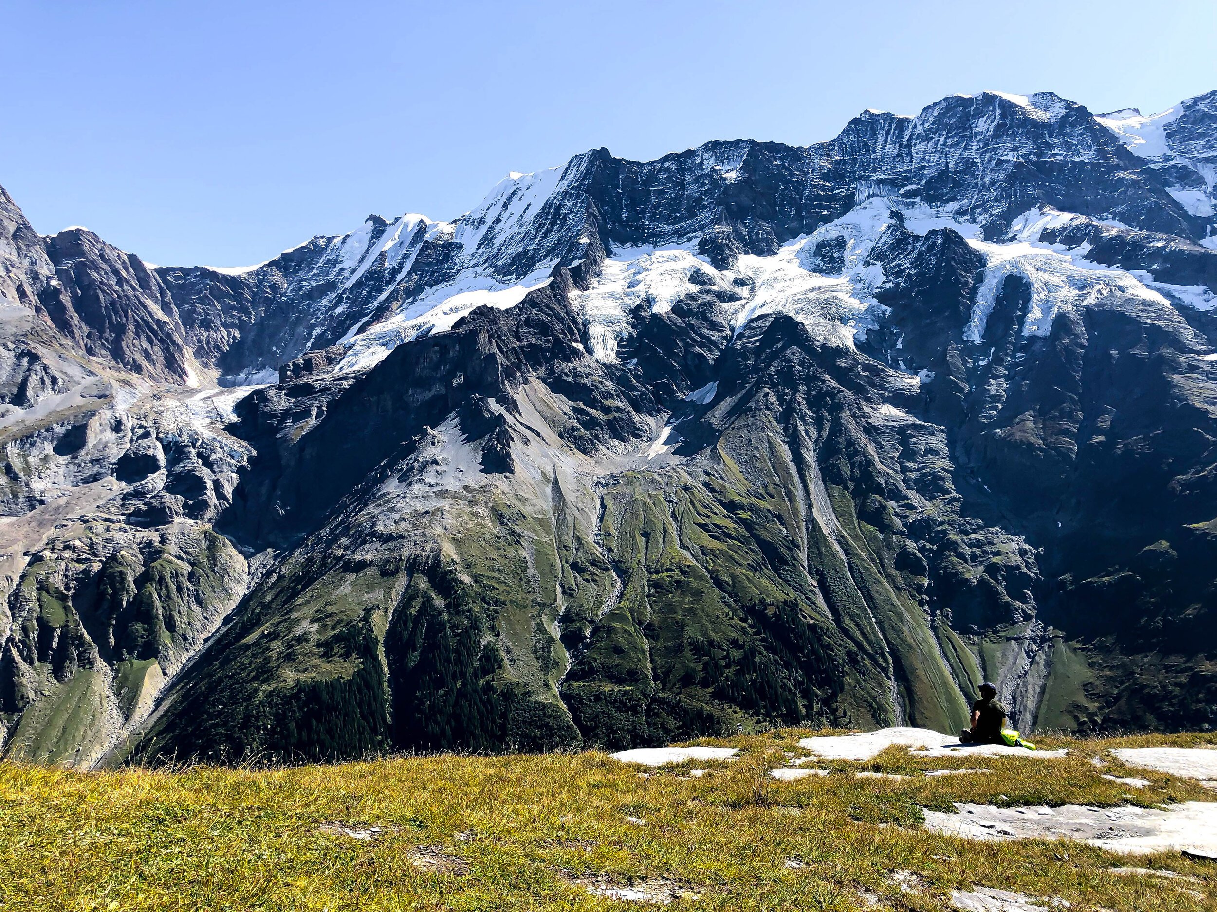
Getting to the top of Stockhorn, the highest mountain in the Gantric range, is certainly a climb, but in terms of “mountain summits,” it’s completely doable as a sweaty day hike (even a solo day hike!). There are actually only two big ascents: one at the beginning to Leiterenpass, and the last push at the end from Bachegg to Stockhorn. That last climb to the finish is not exposed, but you can see how high up you are, and I just mainly forced myself to not look down. The middle is one big, beautiful panoramaweg starring the Bernese Alps. The trail starts at the Gurnigel watershed Post Bus stop (Wasserscheide), which feels like the middle of nowhere in the best way. I got on the trail a bit late, but managed to make it to the summit in time for a quick victory beer before catching the last gondola down to Erlenbach.
*Note: There is one section after Leiterenpass where the trail forks and it’s unmarked. Take the trail to the right, the lower trail that winds around the mountains (not the trail that heads upward).
Start: Gurnigel Watershed bus stop
End: Stockhorn mountain station (cable car down to Erlenbach in Simmental)
Basic Route: Gurnigel -- Leiterenpass - Chuelouenen - Oberi Walalp - Bachegg - Stockhorn
Length and Rating: Moderately difficult. it’s 12km and nearly 1000 meters of ascent.