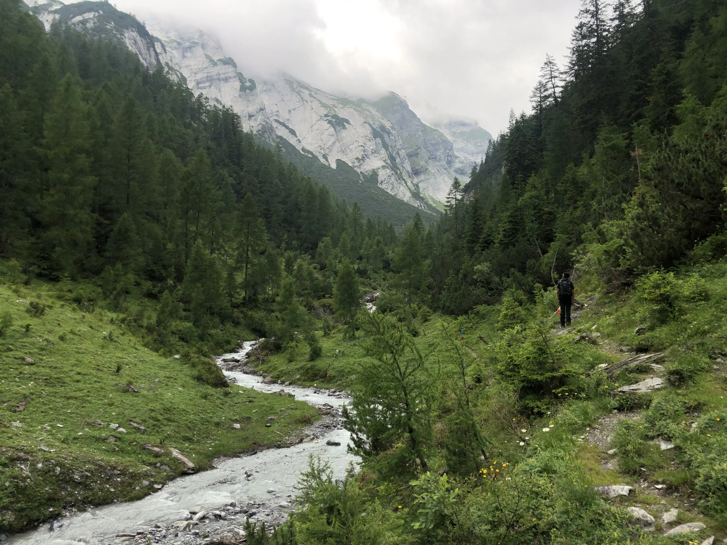
Ringelspitz Hut Loop: Graubünden, Eastern Switzerland
Even though we only could complete half this hike, I’m still giving it a winning review. The wild and remote Lavoitobel valley, secluded and pretty empty thanks to the 900+ meter climb to get there, is worth it. Unfortunately, we had to turn back when we were nearly at the Ringelspitz Hut (after we had already climbed over 1200 meters, ugh). There was a final stream that was too high and too strong from all the recent rain to safely cross. Which only means that we will have to come back and try again - which I don’t even really mind, because we didn’t have the best weather conditions anyway, and I’d love to see the valley and views on a clear day. Below are the stats on the official trail. And please, keep in mind that there are a few stream crossings: it’s not recommend to do this hike in the spring or after heavy rainfall.
Start/End: Tamins
Basic Route: Tamis - Lavoitobel - Ringelspitz Hut - Grossalp - Kunkelspass - Foppaloch - Tamins
Length and Rating: 18km, 1300 meters up/down, 5-6 hours. Challenging.


