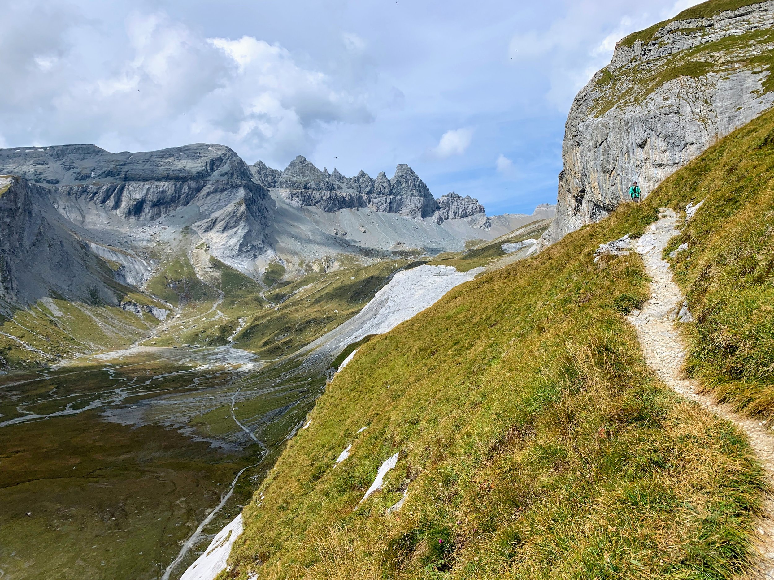
Pilatus Kulm: Obwalden, Central Switzerland
The Pilatus website describes this trail as “classic and conditionally demanding,” and I’d have to agree on both points. You’ll need to gain 1,600 meters of elevation to get to the top, and the incline is consistent the entire way - it’s a great leg workout. But it’s certainly a classic! Plus, there aren’t any exposed areas or steep drop-offs, so this hike is definitely one of the “easier” mountain climbs you can do in the area. I really enjoyed the slow changing of the landscapes as you hike higher and higher: winding through the forests that open to wide panoramas of Central Switzerland and huge cliffs of the Emmental Alps.
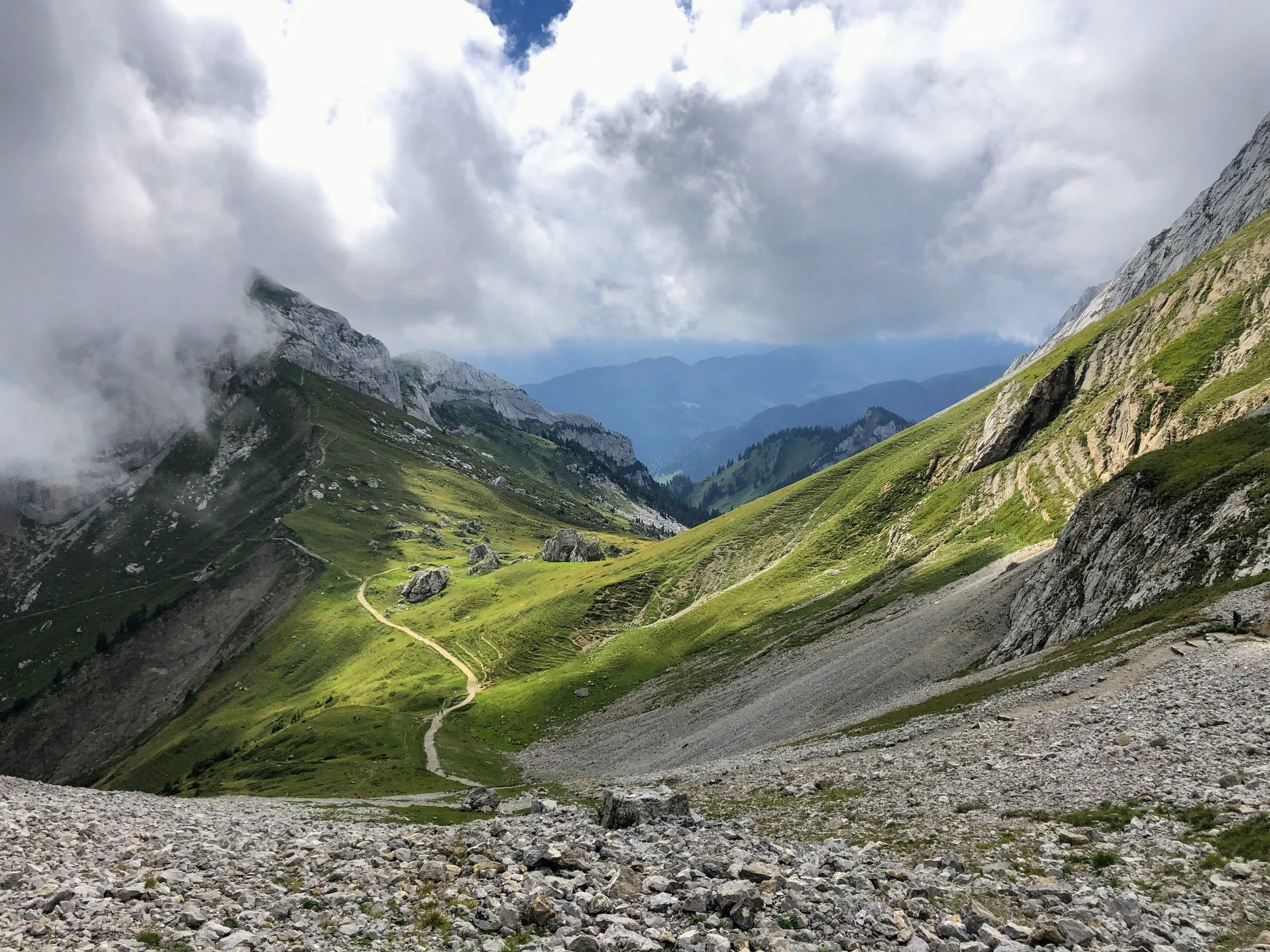
Truthfully, the hike wasn’t too bad! I was pleasantly surprised, and even got to the top more quickly than I anticipated. Even though the fog rolled in and pretty much obscured my view (what can you do, right?!), it didn’t diminish that sense of accomplishment! This route follows fairly close to the PilatusBahn, and it is only slightly taunting to see the bright red train peacefully gliding by as you sweat (ha!). And fun fact: the Pilatus railway is the steepest cogwheel train in the world! My legs were very grateful to have a ride back down, too.
Start: Alpnachstad
End: Pilatus-Kulm
Basic route: Alpnachstad - Ämsigen - Chilchsteine - Pilatus Kulm (cogwheel train back to Alpnachstad)
Length and Rating: Moderately challenging. The path is clearly marked, and the only difficulty is the constant incline. 9km, 1600 meters ascent, 3-5 hours.