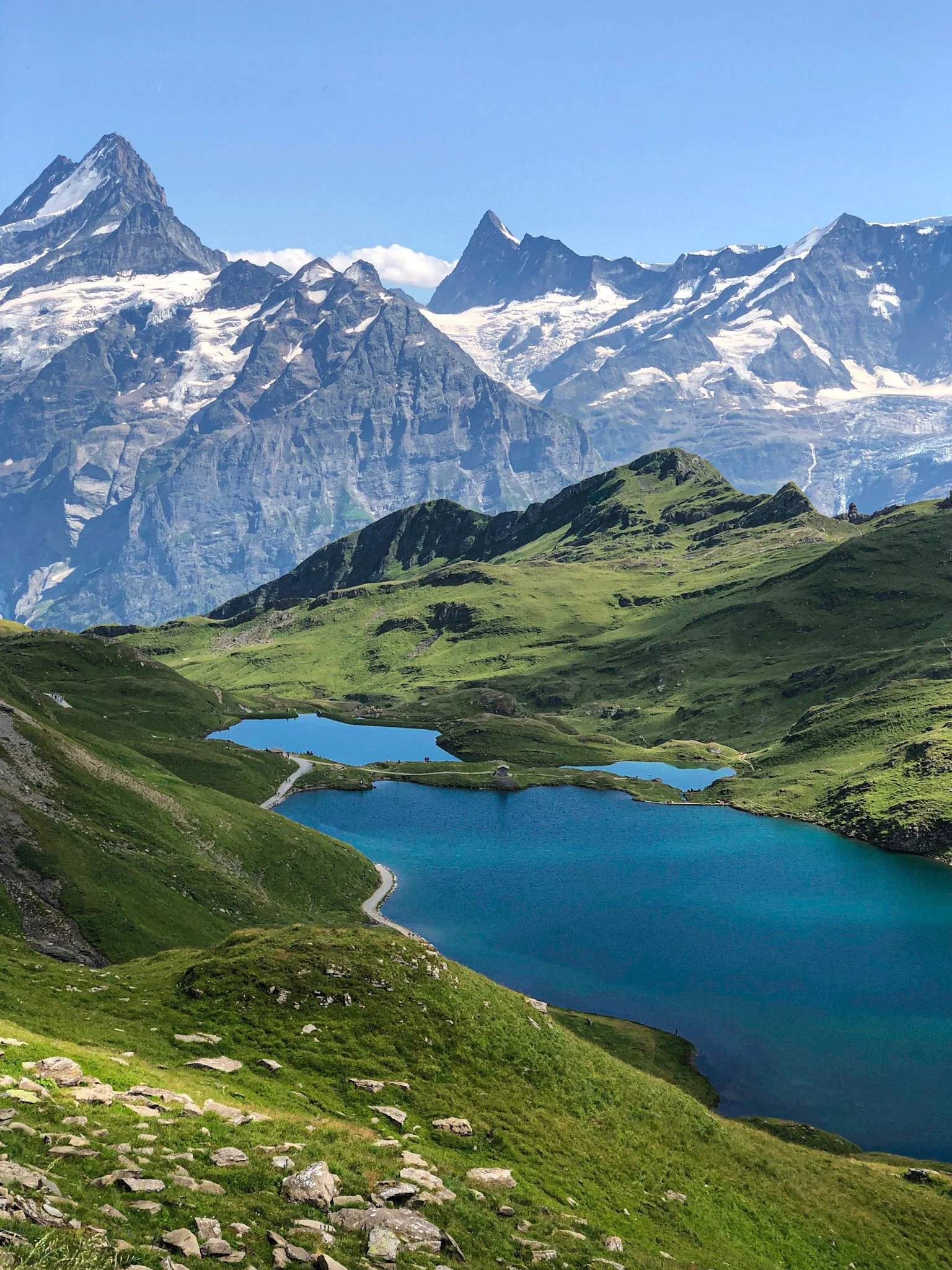
Brienzer Rothorn Ridge Trail: Bernese Oberland
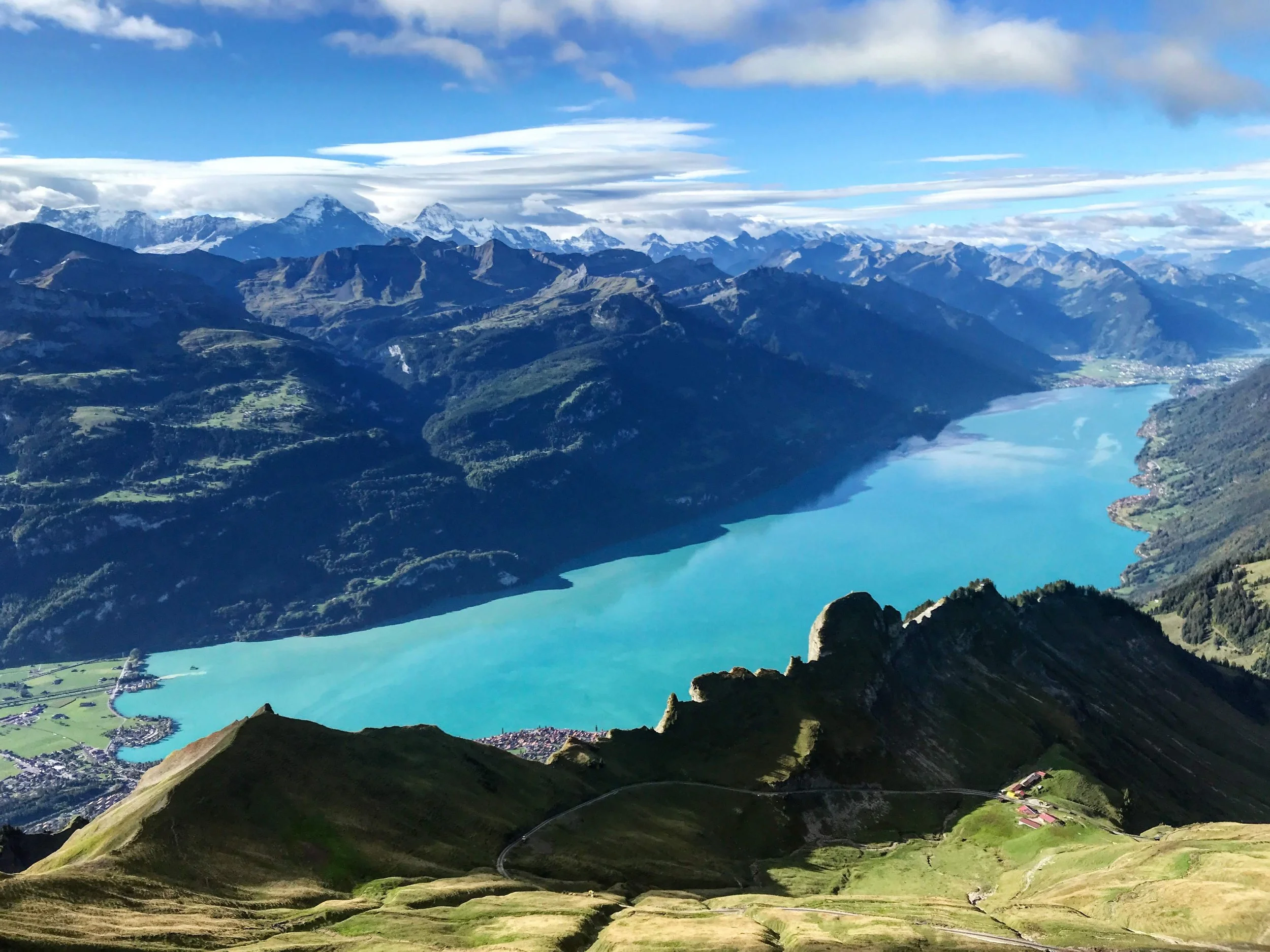
It turns out, even with Swiss signage, it’s still possible to get lost. And get lost we did on this trail. First, though, we need to talk about Lake Brienz. LOOK at the color of that lake. It has ruined all other lakes and all other blues for me. I’ve dubbed it the Brienz Blue, because a color as vibrant and alive as this needs an award, but at the very least it’s own name. But onto the hike itself. It starts with a ride on the downright adorable steam-engine train, that Raunaq, ever the train enthusiast, was very excited about. The narrow trail cuts along the ridge and into the rock, with Brienz on one side and the plains and valleys on the other. Ridge-hikes like these are so difficult to try to capture on camera, because you literally have stunning views everywhere you turn.
I have no idea how we got lost, we must have missed a sign somewhere, but we went much, much further than intended. And after crossing a point of no return (a particularly scary bit of exposed trail that just barely hugged the side of the mountain), there was no turning around to double-check. We continued on, finally found a hut to ask directions, and ended up in the lovely little town of Lugern, which had - you guessed it - beer and a train to get us home. I love this country.
Start: Brienz Bahnhof, then cogwheel train to Brienzer Rothorn
End: Trail ends at Turren, then cable car to Lungern.
Basic Route: Rothorn upper station - Schönbüel - Turren.
Length and Rating: Moderate. Some of the ridge is narrow, with steep drop-offs and a couple ascents/descents. 11km, 4-5 hours.